Murfreesboro night lights from space
Night Light of Murfreesboro (Tennessee) from space (United States) Src. Average luminocity for 10x10km area is 90.1591% and for 50x50km: 24.4046%.
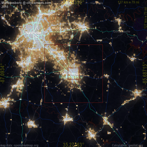
Analysis of Murfreesboro night lights 2016
Square area 10x10 km:
 39.34%
90-99
25%80-89
11.71%70-79
13.11%60-69
6.82%50-59
4.02%40-49
0%30-39
0%20-29
0%10-19
0%0-9
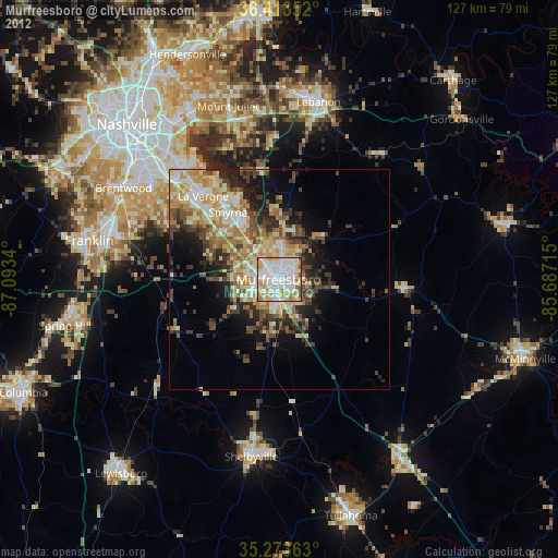
0%Square area 50x50 km:
3.77%90-99
3.73%80-89
4.12%70-79
4.01%60-69
3.95%50-59
3.62%40-49
3.53%30-39
4.64%20-29
5.26%10-19
6.59%0-9
56.77%Clear (daylight) street map image can be seen on geolist.org.
Map coordinates:
36° 24' 48.7" North, 87° 5' 36.2" West
35° 50' 44.2" North, 86° 23' 25" West
35° 16' 25.1" North, 85° 41' 13.7" West
Some cities around Murfreesboro sort by population:
• Smyrna
19.1 km =11.9 mi,  322°
322°
• Brentwood
41 km =25.5 mi,  300°
300°
• La Vergne
25.6 km =15.9 mi, 317°
• Mount Juliet
41.1 km =25.5 mi,  343°
343°
• Brentwood Estates
40.3 km =25 mi, 299°
• Shelbyville
40.8 km =25.4 mi,  188°
188°
• Christiana
15.1 km =9.4 mi,  183°
183°
• Nolensville
27.8 km =17.3 mi, 295°
4644312 (p: 126,118)
Sources (retrieved 2019-11-25):
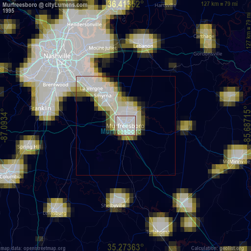
» NASA, Earths city lights 1995
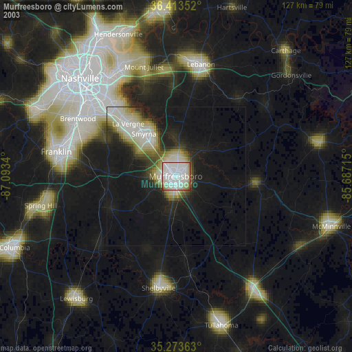
» NASA city lights 2003
» Earth at Night: Flat Maps 2012, 2016