Severn night lights from space
Night Light of Severn (Maryland) from space (United States) Src. Average luminocity for 10x10km area is 88.7971% and for 50x50km: 70.253%.
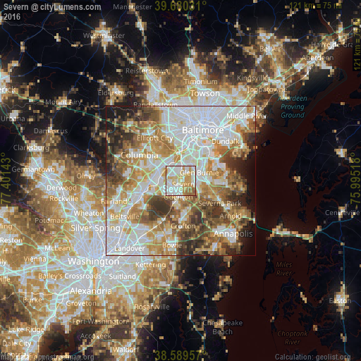
Analysis of Severn night lights 2016
Square area 10x10 km:
 26.95%
90-99
33.6%80-89
11.69%70-79
18.51%60-69
6.33%50-59
2.76%40-49
0.16%30-39
0%20-29
0%10-19
0%0-9
0%Square area 50x50 km:
21.94%90-99
16.12%80-89
7.98%70-79
10.26%60-69
9.33%50-59
9.37%40-49
6.59%30-39
6.75%20-29
4.99%10-19
4.27%0-9
2.41%Clear (daylight) street map image can be seen on geolist.org.
Map coordinates:
39° 40' 49.1" North, 77° 24' 5.1" West
39° 8' 13.4" North, 76° 41' 53.9" West
38° 35' 22.5" North, 75° 59' 42.6" West
Some cities around Severn sort by population:
• Glen Burnie
7 km =4.3 mi,  65°
65°
• Hanover
6.6 km =4.1 mi,  340°
340°
• Odenton
5.9 km =3.7 mi,  181°
181°
• South Gate
6.3 km =3.9 mi,  98°
98°
• Ferndale
7.2 km =4.5 mi,  44°
44°
• Fort George G Mead Junction
7.9 km =4.9 mi,  261°
261°
• Fort Meade
5 km =3.1 mi,  230°
230°
• Jessup
6.8 km =4.2 mi,  281°
281°
4369190 (p: 44,231)
Sources (retrieved 2019-11-25):
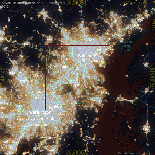
» Earth at Night: Flat Maps 2012, 2016