Glen Burnie night lights from space
Night Light of Glen Burnie (Maryland) from space (United States) Src. Average luminocity for 10x10km area is 90.1526% and for 50x50km: 65.2169%.
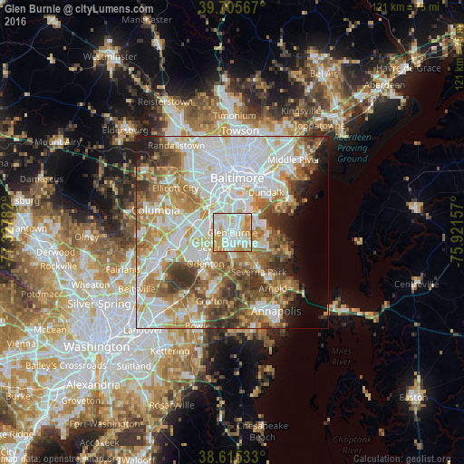
Analysis of Glen Burnie night lights 2016
Square area 10x10 km:
 28.25%
90-99
36.04%80-89
10.39%70-79
18.51%60-69
6.82%50-59
0%40-49
0%30-39
0%20-29
0%10-19
0%0-9
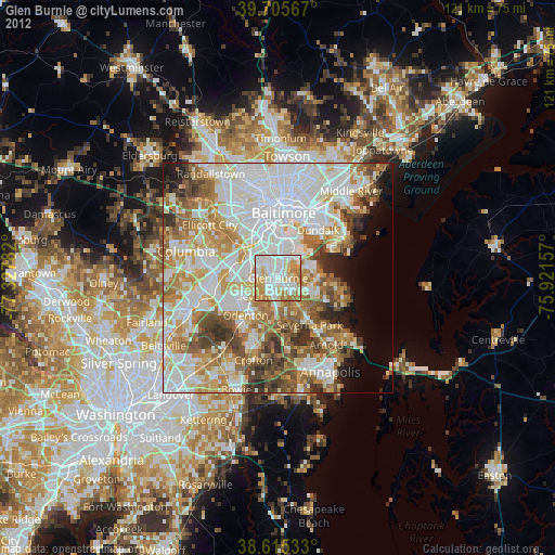
0%Square area 50x50 km:
20.21%90-99
15.89%80-89
7.49%70-79
9.31%60-69
8.74%50-59
8.27%40-49
5.82%30-39
5.52%20-29
3.62%10-19
4.01%0-9
11.12%Clear (daylight) street map image can be seen on geolist.org.
Map coordinates:
39° 42' 20.4" North, 77° 19' 40.2" West
39° 9' 45.4" North, 76° 37' 28.9" West
38° 36' 55.2" North, 75° 55' 17.7" West
Some cities around Glen Burnie sort by population:
• Severn
7 km =4.3 mi,  245°
245°
• South Gate
3.7 km =2.3 mi,  181°
181°
• Pasadena
7.7 km =4.8 mi,  143°
143°
• Green Haven
7.1 km =4.4 mi,  111°
111°
• Ferndale
2.6 km =1.6 mi,  329°
329°
• Brooklyn Park
7.4 km =4.6 mi,  5°
5°
• Linthicum
5.3 km =3.3 mi, 332°
• Pumphrey
6.2 km =3.9 mi,  349°
349°
4356188 (p: 67,639)
Sources (retrieved 2019-11-25):
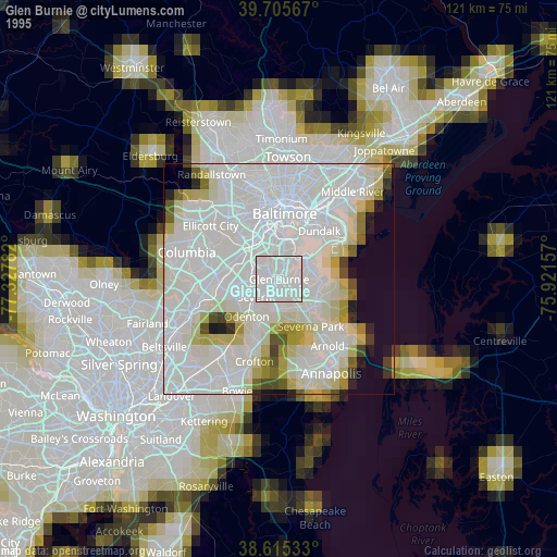
» NASA, Earths city lights 1995
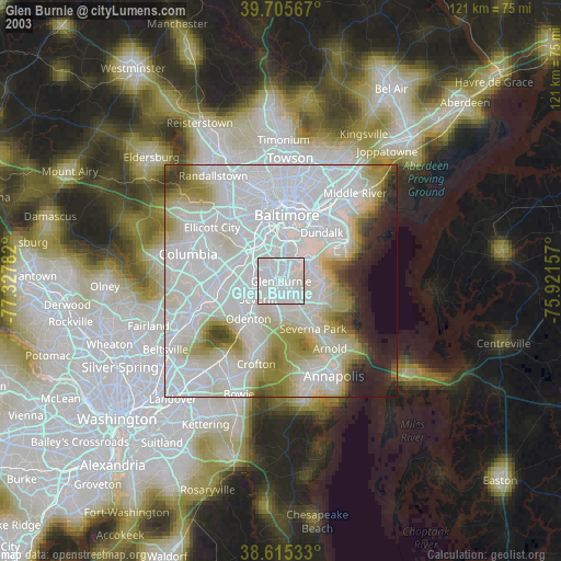
» NASA city lights 2003
» Earth at Night: Flat Maps 2012, 2016