Searcy night lights from space
Night Light of Searcy (Arkansas) from space (United States) Src. Average luminocity for 10x10km area is 58.3234% and for 50x50km: 7.0573%.
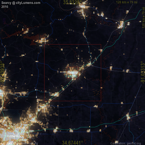
Analysis of Searcy night lights 2016
Square area 10x10 km:
 11.19%
90-99
13.29%80-89
9.09%70-79
6.99%60-69
5.59%50-59
6.29%40-49
11.71%30-39
10.31%20-29
19.93%10-19
5.59%0-9
0%Square area 50x50 km:
0.51%90-99
0.93%80-89
0.84%70-79
0.74%60-69
0.76%50-59
1.15%40-49
1.26%30-39
1.99%20-29
1.63%10-19
5.84%0-9
84.36%Clear (daylight) street map image can be seen on geolist.org.
Map coordinates:
35° 49' 22.1" North, 92° 26' 21.8" West
35° 15' 2.3" North, 91° 44' 10.5" West
34° 40' 27.9" North, 91° 1' 59.3" West
Some cities around Searcy sort by population:
• Sherwood
65.7 km =40.8 mi,  222°
222°
• Jacksonville
54.6 km =33.9 mi, 218°
• Cabot
39.9 km =24.8 mi, 219°
• Batesville
58.4 km =36.3 mi,  8°
8°
• Beebe
23.9 km =14.9 mi,  213°
213°
• Newport
57 km =35.4 mi,  46°
46°
• Heber Springs
37.8 km =23.5 mi,  315°
315°
• Greenbrier
59.2 km =36.8 mi,  268°
268°
4130430 (p: 24,196)
Sources (retrieved 2019-11-25):
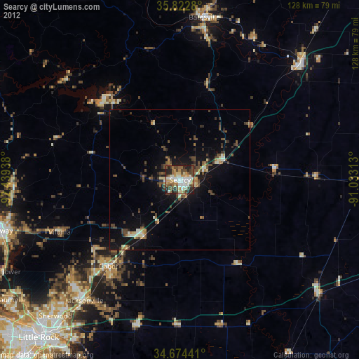
» Earth at Night: Flat Maps 2012, 2016