Jacksonville night lights from space
Night Light of Jacksonville (Arkansas) from space (United States) Src. Average luminocity for 10x10km area is 57.163% and for 50x50km: 29.2811%.
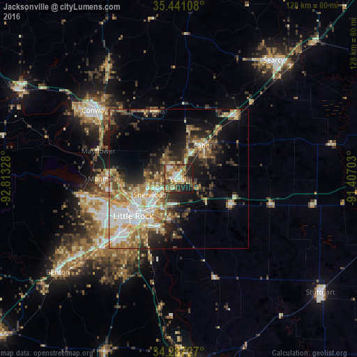
Analysis of Jacksonville night lights 2016
Square area 10x10 km:
 7.33%
7.33%90-99
9.16%80-89
10.26%70-79
7.69%60-69
12.64%50-59
13.55%40-49
6.78%30-39
7.51%20-29
17.03%10-19
8.06%0-9
0%Square area 50x50 km:
4.55%90-99
5.43%80-89
3.57%70-79
4.54%60-69
4.54%50-59
4.84%40-49
3.36%30-39
5.37%20-29
6.41%10-19
10.81%0-9
46.58%Clear (daylight) street map image can be seen on geolist.org.
Map coordinates:
35° 26' 27.9" North, 92° 48' 47.8" West
34° 51' 58.3" North, 92° 6' 36.5" West
34° 17' 14.2" North, 91° 24' 25.3" West
Some cities around Jacksonville sort by population:
• Little Rock
21.1 km =13.1 mi,  230°
230°
• North Little Rock
17.9 km =11.1 mi, 233°
• Conway
39.1 km =24.3 mi,  309°
309°
• Sherwood
11.9 km =7.4 mi,  241°
241°
• Cabot
14.8 km =9.2 mi,  35°
35°
• Maumelle
26.8 km =16.7 mi,  270°
270°
• Beebe
31 km =19.3 mi, 42°
• East End
40.9 km =25.4 mi,  211°
211°
4116315 (p: 28,643)
Sources (retrieved 2019-11-25):
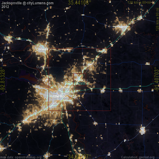
» Earth at Night: Flat Maps 2012, 2016