Beebe night lights from space
Night Light of Beebe (Arkansas) from space (United States) Src. Average luminocity for 10x10km area is 21.1451% and for 50x50km: 11.9935%.
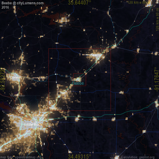
Analysis of Beebe night lights 2016
Square area 10x10 km:
 1.57%
1.57%90-99
3.67%80-89
3.32%70-79
2.27%60-69
4.02%50-59
2.45%40-49
2.1%30-39
1.4%20-29
0%10-19
26.57%0-9
52.62%Square area 50x50 km:
0.97%90-99
1.54%80-89
1.48%70-79
1.42%60-69
1.61%50-59
2.45%40-49
1.91%30-39
3.25%20-29
3.96%10-19
8.14%0-9
73.27%Clear (daylight) street map image can be seen on geolist.org.
Map coordinates:
35° 38' 38.7" North, 92° 34' 57.8" West
35° 4' 14.3" North, 91° 52' 46.5" West
34° 29' 35.3" North, 91° 10' 35.3" West
Some cities around Beebe sort by population:
• North Little Rock
48.7 km =30.3 mi,  226°
226°
• Conway
51.2 km =31.8 mi,  272°
272°
• Sherwood
42.4 km =26.3 mi, 227°
• Jacksonville
31 km =19.3 mi,  222°
222°
• Cabot
16.4 km =10.2 mi, 229°
• Searcy
23.9 km =14.9 mi,  33°
33°
• Heber Springs
48.8 km =30.3 mi,  343°
343°
• Greenbrier
49.6 km =30.8 mi,  291°
291°
4100984 (p: 8,106)
Sources (retrieved 2019-11-25):
» Earth at Night: Flat Maps 2012, 2016