Sea Cliff night lights from space
Night Light of Sea Cliff (New York) from space (United States) Src. Average luminocity for 10x10km area is 63.1395% and for 50x50km: 69.4238%.
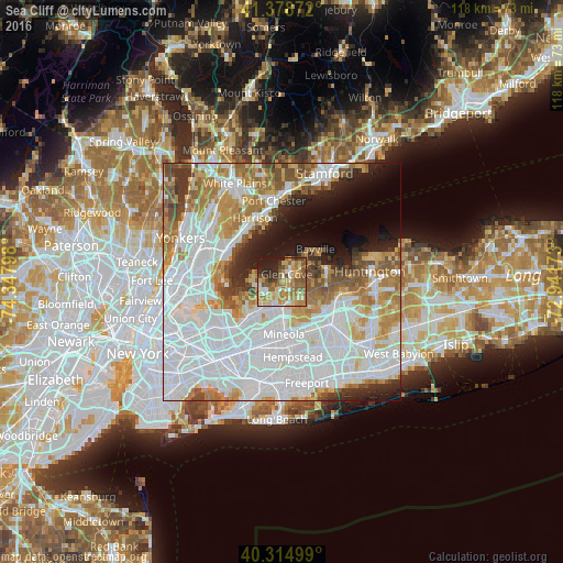
Analysis of Sea Cliff night lights 2016
Square area 10x10 km:
 5.95%
5.95%90-99
9.52%80-89
14.29%70-79
12.59%60-69
18.2%50-59
13.61%40-49
5.27%30-39
5.27%20-29
9.52%10-19
5.78%0-9
0%Square area 50x50 km:
31.62%90-99
15.03%80-89
5.21%70-79
7.22%60-69
8.33%50-59
5.42%40-49
3.75%30-39
3.23%20-29
4.66%10-19
6.29%0-9
9.24%Clear (daylight) street map image can be seen on geolist.org.
Map coordinates:
41° 22' 43.4" North, 74° 20' 52.7" West
40° 50' 56.4" North, 73° 38' 41.5" West
40° 18' 54" North, 72° 56' 30.2" West
Some cities around Sea Cliff sort by population:
• Glen Cove
1.8 km =1.1 mi,  32°
32°
• Port Washington
5.2 km =3.2 mi,  239°
239°
• Manhasset
7.3 km =4.5 mi,  219°
219°
• East Hills
6.3 km =3.9 mi,  166°
166°
• Manorhaven
5.9 km =3.7 mi,  263°
263°
• Roslyn Heights
6.7 km =4.2 mi,  181°
181°
• North Hills
8 km =5 mi,  199°
199°
• Kings Point
8.3 km =5.2 mi,  246°
246°
5137484 (p: 5,025)
Sources (retrieved 2019-11-25):
» Earth at Night: Flat Maps 2012, 2016