Schertz night lights from space
Night Light of Schertz (Texas) from space (United States) Src. Average luminocity for 10x10km area is 66.7348% and for 50x50km: 40.3903%.
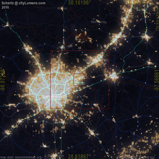
Analysis of Schertz night lights 2016
Square area 10x10 km:
 9.28%
9.28%90-99
13.26%80-89
14.77%70-79
14.39%60-69
13.07%50-59
9.66%40-49
8.52%30-39
4.17%20-29
8.33%10-19
4.55%0-9
0%Square area 50x50 km:
9.83%90-99
8.86%80-89
4.74%70-79
5.67%60-69
4.97%50-59
5.69%40-49
4.53%30-39
4.08%20-29
6.03%10-19
11.93%0-9
33.67%Clear (daylight) street map image can be seen on geolist.org.
Map coordinates:
30° 9' 43.1" North, 98° 58' 22.3" West
29° 33' 7.8" North, 98° 16' 11" West
28° 56' 19.2" North, 97° 33' 59.8" West
Some cities around Schertz sort by population:
• Cibolo
4.3 km =2.7 mi,  75°
75°
• Converse
5.9 km =3.7 mi,  229°
229°
• Universal City
2.1 km =1.3 mi,  257°
257°
• Live Oak
6.6 km =4.1 mi,  282°
282°
• Selma
5 km =3.1 mi,  315°
315°
• Kirby
14.9 km =9.3 mi, 228°
• Windcrest
11.4 km =7.1 mi,  249°
249°
• Terrell Hills
19.5 km =12.1 mi,  243°
243°
4727326 (p: 37,938)
Sources (retrieved 2019-11-25):
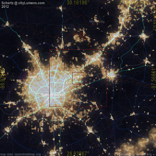
» Earth at Night: Flat Maps 2012, 2016