Cibolo night lights from space
Night Light of Cibolo (Texas) from space (United States) Src. Average luminocity for 10x10km area is 41.8163% and for 50x50km: 35.2022%.
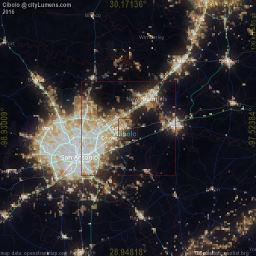
Analysis of Cibolo night lights 2016
Square area 10x10 km:
 1.89%
1.89%90-99
3.41%80-89
6.25%70-79
9.28%60-69
10.04%50-59
10.23%40-49
10.04%30-39
6.06%20-29
8.71%10-19
22.73%0-9
11.36%Square area 50x50 km:
7.09%90-99
7.27%80-89
4.38%70-79
5.14%60-69
4.69%50-59
5.35%40-49
4.41%30-39
4.04%20-29
6.35%10-19
12.49%0-9
38.79%Clear (daylight) street map image can be seen on geolist.org.
Map coordinates:
30° 10' 16.9" North, 98° 55' 48.3" West
29° 33' 41.8" North, 98° 13' 37.1" West
28° 56' 53.4" North, 97° 31' 25.8" West
Some cities around Cibolo sort by population:
• New Braunfels
18.6 km =11.6 mi,  32°
32°
• Schertz
4.3 km =2.7 mi,  255°
255°
• Converse
9.9 km =6.2 mi,  240°
240°
• Universal City
6.4 km =4 mi, 256°
• Live Oak
10.6 km =6.6 mi,  272°
272°
• Selma
8 km =5 mi,  288°
288°
• Kirby
18.8 km =11.7 mi,  234°
234°
• Windcrest
15.7 km =9.8 mi,  250°
250°
4681462 (p: 26,637)
Sources (retrieved 2019-11-25):
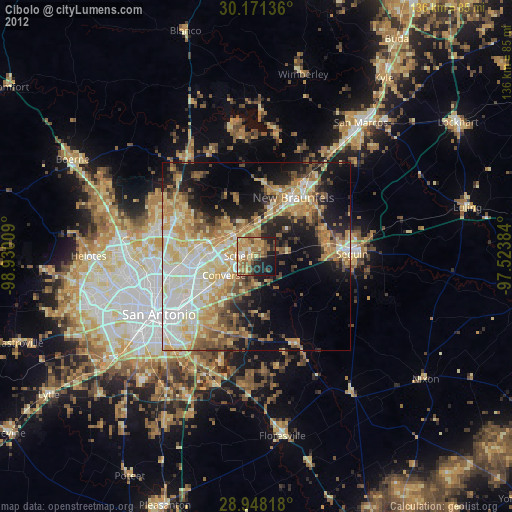
» Earth at Night: Flat Maps 2012, 2016