Converse night lights from space
Night Light of Converse (Texas) from space (United States) Src. Average luminocity for 10x10km area is 79.2708% and for 50x50km: 46.9889%.
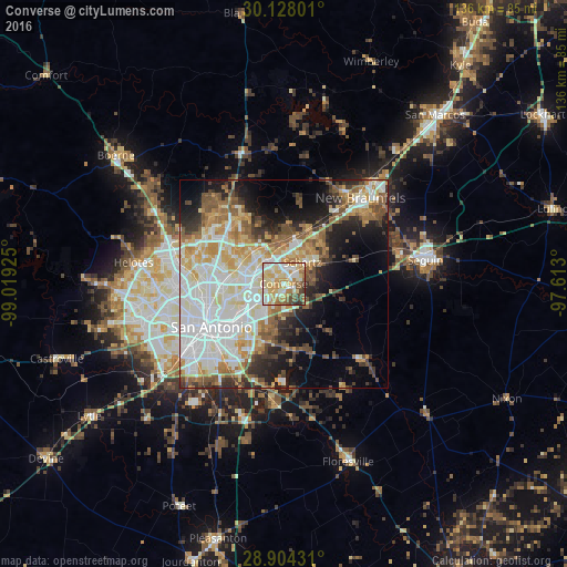
Analysis of Converse night lights 2016
Square area 10x10 km:
 14.96%
90-99
22.16%80-89
21.21%70-79
14.58%60-69
8.71%50-59
9.09%40-49
5.87%30-39
2.84%20-29
0.57%10-19
0%0-9
0%Square area 50x50 km:
12.75%90-99
11.28%80-89
5.43%70-79
6.42%60-69
5.39%50-59
5.93%40-49
4.67%30-39
4.26%20-29
6.09%10-19
9.86%0-9
27.93%Clear (daylight) street map image can be seen on geolist.org.
Map coordinates:
30° 7' 40.8" North, 99° 1' 9.3" West
29° 31' 4.8" North, 98° 18' 58" West
28° 54' 15.5" North, 97° 36' 46.8" West
Some cities around Converse sort by population:
• Schertz
5.9 km =3.7 mi,  49°
49°
• Cibolo
9.9 km =6.2 mi,  60°
60°
• Universal City
4.1 km =2.5 mi,  35°
35°
• Live Oak
5.6 km =3.5 mi,  339°
339°
• Selma
7.4 km =4.6 mi,  7°
7°
• Kirby
9.1 km =5.7 mi,  227°
227°
• Windcrest
6.2 km =3.9 mi,  267°
267°
• Terrell Hills
13.9 km =8.6 mi,  249°
249°
4683021 (p: 21,987)
Sources (retrieved 2019-11-25):
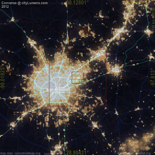
» Earth at Night: Flat Maps 2012, 2016