Schenectady night lights from space
Night Light of Schenectady (New York) from space (United States) Src. Average luminocity for 10x10km area is 71.6409% and for 50x50km: 24.1004%.
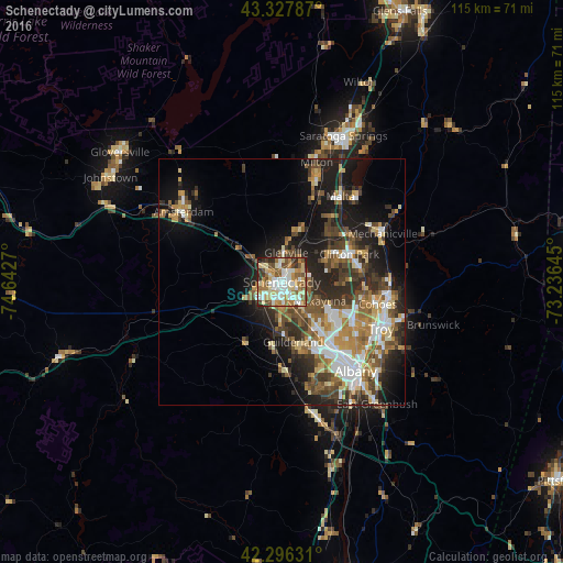
Analysis of Schenectady night lights 2016
Square area 10x10 km:
 13.33%
90-99
21.21%80-89
11.06%70-79
9.55%60-69
12.27%50-59
11.67%40-49
7.58%30-39
5%20-29
7.12%10-19
1.21%0-9
0%Square area 50x50 km:
3.66%90-99
4.09%80-89
2.69%70-79
3.42%60-69
3.36%50-59
3.92%40-49
4.55%30-39
3.96%20-29
6.61%10-19
11.56%0-9
52.2%Clear (daylight) street map image can be seen on geolist.org.
Map coordinates:
43° 19' 40.3" North, 74° 38' 33.7" West
42° 48' 51.3" North, 73° 56' 22.5" West
42° 17' 46.7" North, 73° 14' 11.2" West
Some cities around Schenectady sort by population:
• West Albany
19.6 km =12.2 mi,  137°
137°
• Latham
16.5 km =10.3 mi,  116°
116°
• Rotterdam
4 km =2.5 mi,  220°
220°
• Roessleville
17.1 km =10.6 mi, 140°
• Colonie
13.8 km =8.6 mi, 141°
• Scotia
2.4 km =1.5 mi,  303°
303°
• Westmere
14.9 km =9.3 mi,  157°
157°
• East Glenville
9 km =5.6 mi,  6°
6°
5136454 (p: 65,305)
Sources (retrieved 2019-11-25):
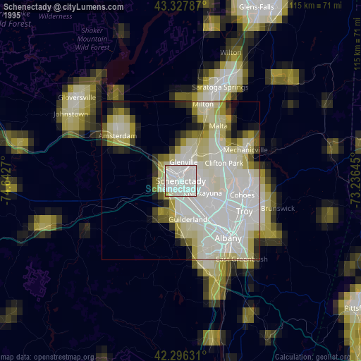
» NASA, Earths city lights 1995
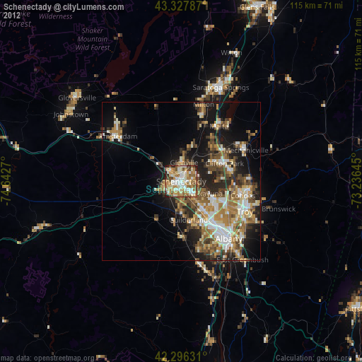
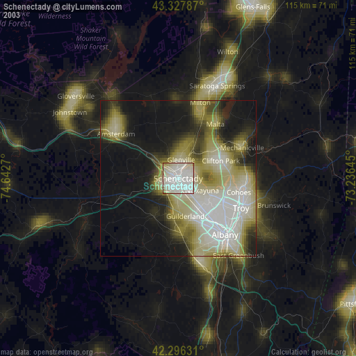
» NASA city lights 2003
» Earth at Night: Flat Maps 2012, 2016