Scaggsville night lights from space
Night Light of Scaggsville (Maryland) from space (United States) Src. Average luminocity for 10x10km area is 71.5731% and for 50x50km: 68.146%.
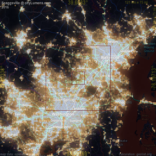
Analysis of Scaggsville night lights 2016
Square area 10x10 km:
 11.53%
90-99
15.1%80-89
9.74%70-79
15.58%60-69
16.4%50-59
14.94%40-49
10.39%30-39
6.01%20-29
0.32%10-19
0%0-9
0%Square area 50x50 km:
20.3%90-99
16.51%80-89
8.56%70-79
10.91%60-69
9.31%50-59
7.74%40-49
4.96%30-39
5.41%20-29
4.42%10-19
6.4%0-9
5.48%Clear (daylight) street map image can be seen on geolist.org.
Map coordinates:
39° 41' 17.9" North, 77° 36' 12.2" West
39° 8' 42.4" North, 76° 54' 0.9" West
38° 35' 51.7" North, 76° 11' 49.7" West
Some cities around Scaggsville sort by population:
• Laurel
6.8 km =4.2 mi,  138°
138°
• South Laurel
9.4 km =5.8 mi,  152°
152°
• Fairland
9.1 km =5.7 mi,  212°
212°
• Maryland City
9.2 km =5.7 mi,  129°
129°
• Burtonsville
4.7 km =2.9 mi,  216°
216°
• Savage
6.6 km =4.1 mi,  96°
96°
• Riverside
3.4 km =2.1 mi,  22°
22°
• Ashton-Sandy Spring
9.1 km =5.7 mi,  273°
273°
4368918 (p: 24,333)
Sources (retrieved 2019-11-25):
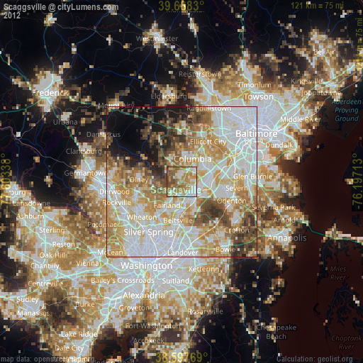
» Earth at Night: Flat Maps 2012, 2016