Sayville night lights from space
Night Light of Sayville (New York) from space (United States) Src. Average luminocity for 10x10km area is 48.7078% and for 50x50km: 35.2628%.
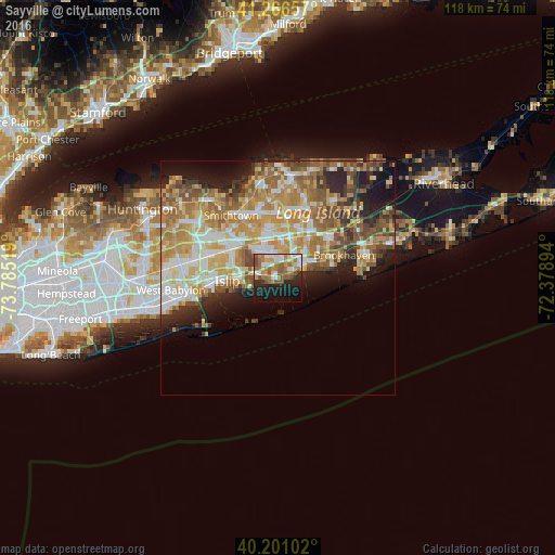
Analysis of Sayville night lights 2016
Square area 10x10 km:
 7.95%
7.95%90-99
8.93%80-89
3.73%70-79
7.95%60-69
12.82%50-59
12.34%40-49
2.76%30-39
1.95%20-29
12.66%10-19
19.97%0-9
8.93%Square area 50x50 km:
5.2%90-99
6.69%80-89
5.46%70-79
7.58%60-69
7.07%50-59
5.89%40-49
4.08%30-39
2.93%20-29
5.41%10-19
7.56%0-9
42.12%Clear (daylight) street map image can be seen on geolist.org.
Map coordinates:
41° 15' 59.7" North, 73° 47' 6.7" West
40° 44' 9.3" North, 73° 4' 55.4" West
40° 12' 3.7" North, 72° 22' 44.2" West
Some cities around Sayville sort by population:
• Holbrook
8.5 km =5.3 mi,  2°
2°
• East Patchogue
8 km =5 mi,  64°
64°
• Patchogue
6.5 km =4 mi, 59°
• Bohemia
4.6 km =2.9 mi,  323°
323°
• Bayport
2.7 km =1.7 mi,  83°
83°
• Oakdale
4.9 km =3 mi,  280°
280°
• North Patchogue
8.4 km =5.2 mi,  47°
47°
• West Sayville
1.6 km =1 mi,  235°
235°
5136421 (p: 16,853)
Sources (retrieved 2019-11-25):
» Earth at Night: Flat Maps 2012, 2016