Old Bridge night lights from space
Night Light of Old Bridge (New Jersey) from space (United States) Src. Average luminocity for 10x10km area is 74.6616% and for 50x50km: 65.4013%.
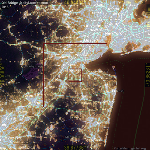
Analysis of Old Bridge night lights 2016
Square area 10x10 km:
 10.2%
10.2%90-99
13.95%80-89
15.99%70-79
13.44%60-69
26.87%50-59
14.12%40-49
4.93%30-39
0.51%20-29
0%10-19
0%0-9
0%Square area 50x50 km:
13.43%90-99
13.39%80-89
8.46%70-79
9.84%60-69
12.48%50-59
14.05%40-49
8.44%30-39
7.89%20-29
7.21%10-19
3.57%0-9
1.24%Clear (daylight) street map image can be seen on geolist.org.
Map coordinates:
40° 56' 52.9" North, 75° 4' 6.8" West
40° 24' 53.4" North, 74° 21' 55.5" West
39° 52' 38.5" North, 73° 39' 44.3" West
Some cities around Old Bridge sort by population:
• East Brunswick
4.5 km =2.8 mi,  288°
288°
• Sayreville
5 km =3.1 mi,  4°
4°
• Sayreville Junction
6.4 km =4 mi,  27°
27°
• South Old Bridge
1.2 km =0.7 mi,  128°
128°
• South River
3.9 km =2.4 mi,  333°
333°
• Spotswood
3.8 km =2.4 mi,  227°
227°
• Madison Park
6.3 km =3.9 mi,  50°
50°
• Milltown
8 km =5 mi,  304°
304°
5102162 (p: 23,753)
Sources (retrieved 2019-11-25):
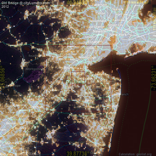
» Earth at Night: Flat Maps 2012, 2016