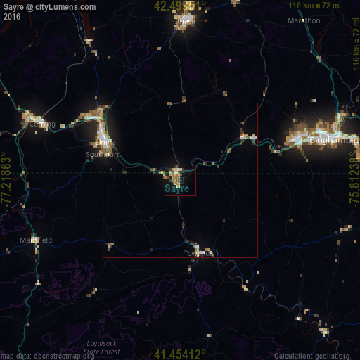
Sayre night lights from space
Night Light of Sayre (Pennsylvania) from space (United States) Src. Average luminocity for 10x10km area is 19.8159% and for 50x50km: 3.4196%.
Analysis of Sayre night lights 2016
Square area 10x10 km:
 0%
0%90-99
1.27%80-89
6.67%70-79
2.38%60-69
3.97%50-59
3.81%40-49
3.17%30-39
2.7%20-29
1.11%10-19
13.97%0-9
60.95%Square area 50x50 km:
0.26%90-99
0.38%80-89
0.66%70-79
0.36%60-69
0.47%50-59
0.57%40-49
0.42%30-39
0.55%20-29
0.77%10-19
2.09%0-9
93.47%Clear (daylight) street map image can be seen on geolist.org.
Map coordinates:
42° 29' 58.2" North, 77° 13' 7.1" West
41° 58' 44.3" North, 76° 30' 55.8" West
41° 27' 14.8" North, 75° 48' 44.6" West
Some cities around Sayre sort by population:
• Elmira
27.1 km =16.8 mi,  297°
297°
• Johnson City
48.4 km =30.1 mi,  71°
71°
• Endicott
40.7 km =25.3 mi, 70°
• Endwell
43.5 km =27 mi, 69°
• Corning
48.1 km =29.9 mi,  292°
292°
• Southport
26.5 km =16.5 mi, 288°
• Horseheads
32.7 km =20.3 mi,  309°
309°
• Big Flats
39 km =24.2 mi, 296°
5211037 (p: 5,424)
Sources (retrieved 2019-11-25):
» Earth at Night: Flat Maps 2012, 2016