Corning night lights from space
Night Light of Corning (New York) from space (United States) Src. Average luminocity for 10x10km area is 24.0015% and for 50x50km: 5.36%.
Analysis of Corning night lights 2016
Square area 10x10 km:
 3.03%
3.03%90-99
3.64%80-89
6.21%70-79
2.12%60-69
3.48%50-59
1.21%40-49
0%30-39
2.58%20-29
3.03%10-19
29.09%0-9
45.61%Square area 50x50 km:
0.42%90-99
0.67%80-89
0.99%70-79
0.58%60-69
0.68%50-59
0.74%40-49
0.69%30-39
0.95%20-29
1.34%10-19
4.27%0-9
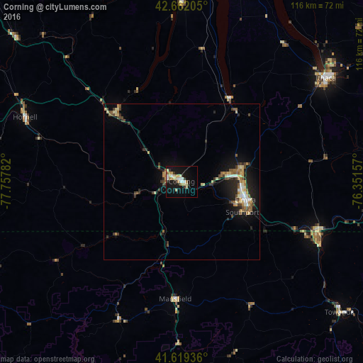
88.67%Clear (daylight) street map image can be seen on geolist.org.
Map coordinates:
42° 39' 43.4" North, 77° 45' 28.2" West
42° 8' 34.3" North, 77° 3' 16.9" West
41° 37' 9.7" North, 76° 21' 5.7" West
Some cities around Corning sort by population:
• Elmira
21.2 km =13.2 mi,  106°
106°
• Hornell
54 km =33.6 mi,  292°
292°
• Southport
21.8 km =13.5 mi,  116°
116°
• South Hill
56 km =34.8 mi,  55°
55°
• Horseheads
19.5 km =12.1 mi,  82°
82°
• Bath
30.6 km =19 mi,  314°
314°
• Sayre
48.1 km =29.9 mi, 112°
• Big Flats
9.7 km =6 mi,  93°
93°
5113760 (p: 10,897)
Sources (retrieved 2019-11-25):
» Earth at Night: Flat Maps 2012, 2016