Endwell night lights from space
Night Light of Endwell (New York) from space (United States) Src. Average luminocity for 10x10km area is 55.9136% and for 50x50km: 7.4852%.
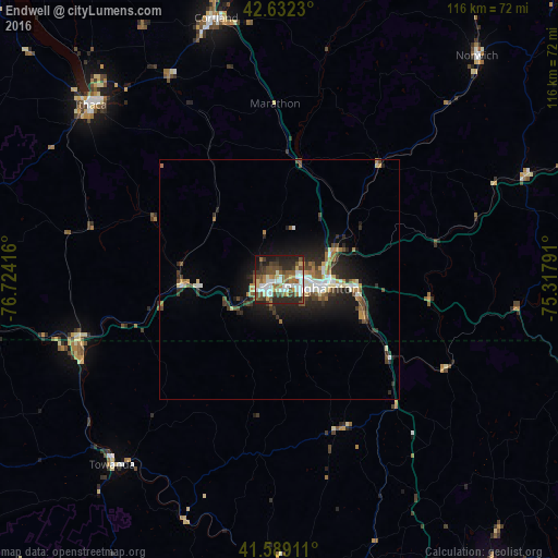
Analysis of Endwell night lights 2016
Square area 10x10 km:
 11.67%
90-99
11.97%80-89
5.45%70-79
4.09%60-69
8.03%50-59
12.27%40-49
10.61%30-39
7.42%20-29
17.58%10-19
10.3%0-9
0.61%Square area 50x50 km:
1.01%90-99
1.22%80-89
0.68%70-79
0.66%60-69
1.12%50-59
1.1%40-49
1.24%30-39
1.28%20-29
2.64%10-19
4.9%0-9
84.16%Clear (daylight) street map image can be seen on geolist.org.
Map coordinates:
42° 37' 56.3" North, 76° 43' 27" West
42° 6' 46.3" North, 76° 1' 15.7" West
41° 35' 20.8" North, 75° 19' 4.5" West
Some cities around Endwell sort by population:
• Binghamton
8.6 km =5.3 mi,  100°
100°
• Ithaca
53.5 km =33.2 mi,  312°
312°
• Cortland
55.9 km =34.7 mi,  346°
346°
• Johnson City
5.1 km =3.2 mi,  86°
86°
• Endicott
2.8 km =1.7 mi,  235°
235°
• South Hill
52.5 km =32.6 mi, 312°
• Lakeview
37.7 km =23.4 mi,  19°
19°
• Sayre
43.5 km =27 mi,  249°
249°
5116603 (p: 11,446)
Sources (retrieved 2019-11-25):
» Earth at Night: Flat Maps 2012, 2016