Horseheads night lights from space
Night Light of Horseheads (New York) from space (United States) Src. Average luminocity for 10x10km area is 30.0697% and for 50x50km: 5.5592%.
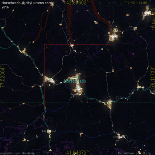
Analysis of Horseheads night lights 2016
Square area 10x10 km:
 2.58%
2.58%90-99
3.33%80-89
4.7%70-79
4.85%60-69
4.55%50-59
5.15%40-49
2.88%30-39
4.55%20-29
11.97%10-19
29.39%0-9
26.06%Square area 50x50 km:
0.44%90-99
0.7%80-89
1.08%70-79
0.59%60-69
0.88%50-59
0.83%40-49
0.56%30-39
0.69%20-29
1.4%10-19
4.61%0-9
88.22%Clear (daylight) street map image can be seen on geolist.org.
Map coordinates:
42° 41' 9.7" North, 77° 31' 25.1" West
42° 10' 1.3" North, 76° 49' 13.8" West
41° 38' 37.4" North, 76° 7' 2.6" West
Some cities around Horseheads sort by population:
• Ithaca
40.4 km =25.1 mi,  41°
41°
• Elmira
8.7 km =5.4 mi,  173°
173°
• Corning
19.5 km =12.1 mi,  262°
262°
• Southport
12.5 km =7.8 mi,  179°
179°
• South Hill
39.6 km =24.6 mi, 42°
• Bath
45.1 km =28 mi,  294°
294°
• Sayre
32.7 km =20.3 mi,  129°
129°
• Big Flats
10.1 km =6.3 mi,  250°
250°
5121309 (p: 6,616)
Sources (retrieved 2019-11-25):
» Earth at Night: Flat Maps 2012, 2016