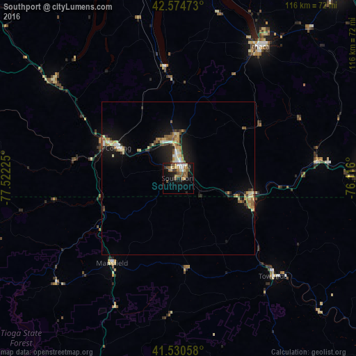
Southport night lights from space
Night Light of Southport (New York) from space (United States) Src. Average luminocity for 10x10km area is 25.154% and for 50x50km: 5.253%.
Analysis of Southport night lights 2016
Square area 10x10 km:
 2.7%
2.7%90-99
3.02%80-89
3.97%70-79
2.22%60-69
5.87%50-59
4.29%40-49
3.33%30-39
2.54%20-29
5.08%10-19
22.54%0-9
44.44%Square area 50x50 km:
0.42%90-99
0.66%80-89
1.06%70-79
0.56%60-69
0.8%50-59
0.75%40-49
0.48%30-39
0.67%20-29
1.29%10-19
4.57%0-9
88.75%Clear (daylight) street map image can be seen on geolist.org.
Map coordinates:
42° 34' 29" North, 77° 31' 20.1" West
42° 3' 17.3" North, 76° 49' 8.8" West
41° 31' 50.1" North, 76° 6' 57.6" West
Some cities around Southport sort by population:
• Ithaca
50.4 km =31.3 mi,  31°
31°
• Elmira
4 km =2.5 mi,  13°
13°
• Endicott
63.7 km =39.6 mi,  85°
85°
• Corning
21.8 km =13.5 mi,  296°
296°
• Horseheads
12.5 km =7.8 mi,  359°
359°
• Bath
51.7 km =32.1 mi,  307°
307°
• Sayre
26.5 km =16.5 mi,  108°
108°
• Big Flats
13.4 km =8.3 mi, 313°
5139058 (p: 7,238)
Sources (retrieved 2019-11-25):
» Earth at Night: Flat Maps 2012, 2016