Mount Carmel night lights from space
Night Light of Mount Carmel (Tennessee) from space (United States) Src. Average luminocity for 10x10km area is 0% and for 50x50km: 2.0847%.
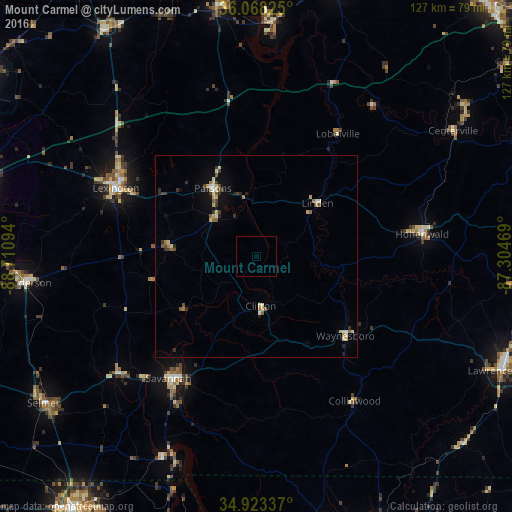
Analysis of Mount Carmel night lights 2016
Square area 10x10 km:
 0%
0%90-99
0%80-89
0%70-79
0%60-69
0%50-59
0%40-49
0%30-39
0%20-29
0%10-19
0%0-9
100%Square area 50x50 km:
0.1%90-99
0.23%80-89
0.48%70-79
0.24%60-69
0.21%50-59
0.33%40-49
0.25%30-39
0.53%20-29
0.31%10-19
0.67%0-9
96.65%Clear (daylight) street map image can be seen on geolist.org.
Map coordinates:
36° 4' 5.7" North, 88° 42' 39.4" West
35° 29' 52.3" North, 88° 0' 28.1" West
34° 55' 24.1" North, 87° 18' 16.9" West
Some cities around Mount Carmel sort by population:
• Jackson
74.1 km =46 mi,  280°
280°
• East Florence
83.2 km =51.7 mi,  156°
156°
• Corinth
78.2 km =48.6 mi,  216°
216°
• Lawrenceburg
67.3 km =41.8 mi,  114°
114°
• Lexington
38.8 km =24.1 mi,  296°
296°
• Milan
82.5 km =51.3 mi, 304°
• Savannah
37.4 km =23.2 mi, 215°
• Henderson
57.7 km =35.9 mi,  263°
263°
4643150 (p: 5,298)
Sources (retrieved 2019-11-25):
» Earth at Night: Flat Maps 2012, 2016