Savage night lights from space
Night Light of Savage (Minnesota) from space (United States) Src. Average luminocity for 10x10km area is 75.8424% and for 50x50km: 49.3224%.
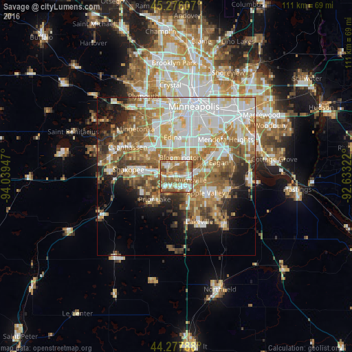
Analysis of Savage night lights 2016
Square area 10x10 km:
 15%
15%90-99
18.79%80-89
8.48%70-79
9.09%60-69
27.58%50-59
17.58%40-49
3.48%30-39
0%20-29
0%10-19
0%0-9
0%Square area 50x50 km:
12.79%90-99
10.56%80-89
5.32%70-79
6.51%60-69
9.8%50-59
7.54%40-49
5%30-39
3.82%20-29
5.57%10-19
7.44%0-9
25.65%Clear (daylight) street map image can be seen on geolist.org.
Map coordinates:
45° 16' 33.9" North, 94° 2' 22.1" West
44° 46' 44.9" North, 93° 20' 10.8" West
44° 16' 40.4" North, 92° 37' 59.6" West
Some cities around Savage sort by population:
• Bloomington
7.5 km =4.7 mi,  23°
23°
• Eagan
13.7 km =8.5 mi,  78°
78°
• Eden Prairie
13.5 km =8.4 mi,  308°
308°
• Burnsville
4.8 km =3 mi,  105°
105°
• Apple Valley
10.7 km =6.6 mi,  119°
119°
• Edina
12.3 km =7.6 mi,  355°
355°
• Richfield
12.3 km =7.6 mi, 19°
• Prior Lake
10 km =6.2 mi,  222°
222°
5046063 (p: 30,391)
Sources (retrieved 2019-11-25):
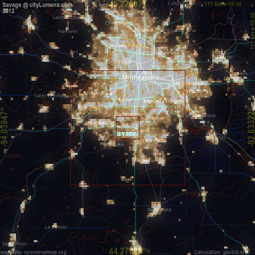
» Earth at Night: Flat Maps 2012, 2016