Prior Lake night lights from space
Night Light of Prior Lake (Minnesota) from space (United States) Src. Average luminocity for 10x10km area is 42.4182% and for 50x50km: 35.7844%.
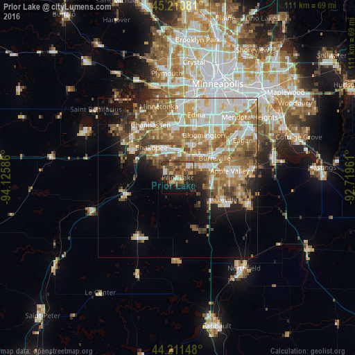
Analysis of Prior Lake night lights 2016
Square area 10x10 km:
 3.33%
3.33%90-99
5.15%80-89
5.61%70-79
6.67%60-69
4.09%50-59
12.42%40-49
10.91%30-39
12.88%20-29
8.79%10-19
21.06%0-9
9.09%Square area 50x50 km:
7.01%90-99
7.06%80-89
3.92%70-79
5.15%60-69
8.43%50-59
6.53%40-49
4.28%30-39
3.4%20-29
4.01%10-19
6.48%0-9
43.73%Clear (daylight) street map image can be seen on geolist.org.
Map coordinates:
45° 12' 38.9" North, 94° 7' 33.1" West
44° 42' 47.9" North, 93° 25' 21.8" West
44° 12' 41.3" North, 92° 43' 10.6" West
Some cities around Prior Lake sort by population:
• Eden Prairie
16.2 km =10.1 mi,  346°
346°
• Burnsville
13 km =8.1 mi,  62°
62°
• Lakeville
15.9 km =9.9 mi,  116°
116°
• Apple Valley
16.3 km =10.1 mi,  82°
82°
• Shakopee
12.5 km =7.8 mi,  318°
318°
• Savage
10 km =6.2 mi,  42°
42°
• Chaska
16.5 km =10.3 mi,  300°
300°
• Jordan
16.9 km =10.5 mi,  252°
252°
5042373 (p: 25,282)
Sources (retrieved 2019-11-25):
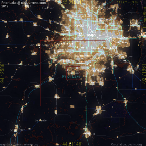
» Earth at Night: Flat Maps 2012, 2016