Richfield night lights from space
Night Light of Richfield (Minnesota) from space (United States) Src. Average luminocity for 10x10km area is 94.173% and for 50x50km: 65.241%.
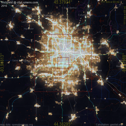
Analysis of Richfield night lights 2016
Square area 10x10 km:
 38.89%
90-99
36.83%80-89
13.17%70-79
7.94%60-69
3.02%50-59
0.16%40-49
0%30-39
0%20-29
0%10-19
0%0-9
0%Square area 50x50 km:
17.78%90-99
15.11%80-89
7.69%70-79
9.04%60-69
13.06%50-59
9.06%40-49
5.53%30-39
3.81%20-29
5.47%10-19
5.64%0-9
7.8%Clear (daylight) street map image can be seen on geolist.org.
Map coordinates:
45° 22' 45.6" North, 93° 59' 10.1" West
44° 52' 59.9" North, 93° 16' 58.8" West
44° 22' 58.6" North, 92° 34' 47.6" West
Some cities around Richfield sort by population:
• Minneapolis
10.9 km =6.8 mi,  7°
7°
• Bloomington
4.9 km =3 mi,  194°
194°
• Eagan
12.7 km =7.9 mi,  133°
133°
• Burnsville
12.9 km =8 mi,  178°
178°
• Edina
5.3 km =3.3 mi,  277°
277°
• Saint Louis Park
8.9 km =5.5 mi,  324°
324°
• Savage
12.3 km =7.6 mi,  199°
199°
• Mendota Heights
11.4 km =7.1 mi,  89°
89°
5043193 (p: 36,216)
Sources (retrieved 2019-11-25):
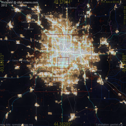
» Earth at Night: Flat Maps 2012, 2016