Eagan night lights from space
Night Light of Eagan (Minnesota) from space (United States) Src. Average luminocity for 10x10km area is 69.0841% and for 50x50km: 53.7741%.
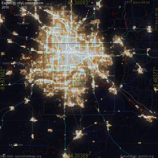
Analysis of Eagan night lights 2016
Square area 10x10 km:
 11.43%
90-99
12.54%80-89
8.57%70-79
6.35%60-69
24.76%50-59
21.9%40-49
7.78%30-39
5.4%20-29
1.27%10-19
0%0-9
0%Square area 50x50 km:
14.9%90-99
12.25%80-89
5.76%70-79
7.24%60-69
11.16%50-59
6.73%40-49
4.25%30-39
3.07%20-29
5.07%10-19
8.45%0-9
21.13%Clear (daylight) street map image can be seen on geolist.org.
Map coordinates:
45° 18' 3.1" North, 93° 52' 12.1" West
44° 48' 14.9" North, 93° 10' 0.8" West
44° 18' 11.1" North, 92° 27' 49.6" West
Some cities around Eagan sort by population:
• Bloomington
11.1 km =6.9 mi,  291°
291°
• Burnsville
9.6 km =6 mi,  245°
245°
• Apple Valley
9 km =5.6 mi,  206°
206°
• Richfield
12.7 km =7.9 mi,  313°
313°
• Inver Grove Heights
10.9 km =6.8 mi,  63°
63°
• Rosemount
7.9 km =4.9 mi,  155°
155°
• West Saint Paul
13.5 km =8.4 mi,  22°
22°
• Mendota Heights
9.1 km =5.7 mi,  14°
14°
5024825 (p: 66,286)
Sources (retrieved 2019-11-25):
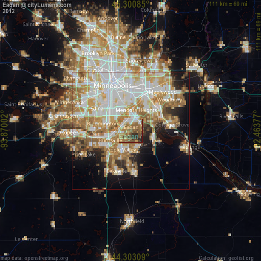
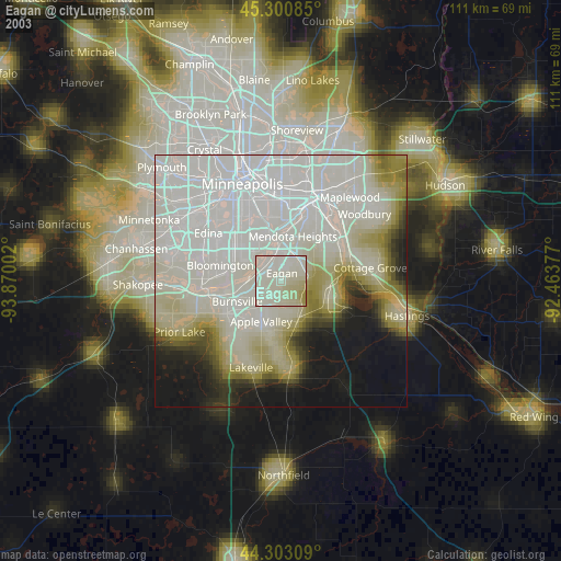
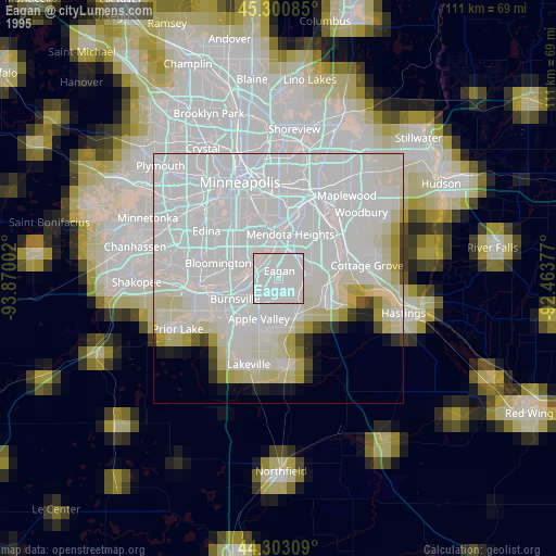
» NASA, Earths city lights 1995
» NASA city lights 2003
» Earth at Night: Flat Maps 2012, 2016