Sanford night lights from space
Night Light of Sanford (Maine) from space (United States) Src. Average luminocity for 10x10km area is 15.1079% and for 50x50km: 5.6474%.
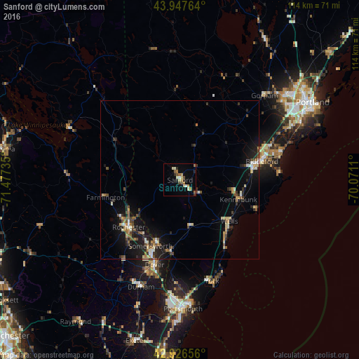
Analysis of Sanford night lights 2016
Square area 10x10 km:
 0.95%
0.95%90-99
2.22%80-89
2.86%70-79
2.22%60-69
1.9%50-59
3.17%40-49
1.27%30-39
0.79%20-29
2.7%10-19
2.38%0-9
79.52%Square area 50x50 km:
0.33%90-99
0.8%80-89
0.83%70-79
0.6%60-69
0.54%50-59
0.85%40-49
1.02%30-39
0.61%20-29
1.4%10-19
4.69%0-9
88.34%Clear (daylight) street map image can be seen on geolist.org.
Map coordinates:
43° 56' 51.5" North, 71° 28' 38.5" West
43° 26' 21.3" North, 70° 46' 27.2" West
42° 55' 35.6" North, 70° 4' 16" West
Some cities around Sanford sort by population:
• Rochester
22.1 km =13.7 mi,  227°
227°
• Biddeford
26.6 km =16.5 mi,  77°
77°
• Somersworth
21.1 km =13.1 mi,  200°
200°
• Wells Beach Station
19.6 km =12.2 mi,  130°
130°
• Waterboro
11.7 km =7.3 mi,  24°
24°
• South Berwick
22.9 km =14.2 mi,  187°
187°
• Lebanon
7.9 km =4.9 mi, 231°
• Kennebunk
19.5 km =12.1 mi,  108°
108°
4977762 (p: 20,893)
Sources (retrieved 2019-11-25):
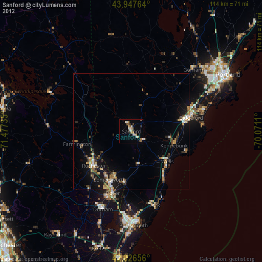
» Earth at Night: Flat Maps 2012, 2016