Biddeford night lights from space
Night Light of Biddeford (Maine) from space (United States) Src. Average luminocity for 10x10km area is 42.546% and for 50x50km: 10.3101%.
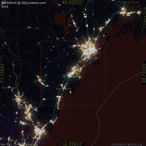
Analysis of Biddeford night lights 2016
Square area 10x10 km:
 5.71%
5.71%90-99
7.3%80-89
6.98%70-79
5.08%60-69
6.98%50-59
5.24%40-49
7.94%30-39
4.29%20-29
12.7%10-19
31.11%0-9
6.67%Square area 50x50 km:
1.29%90-99
1.97%80-89
1.45%70-79
1.16%60-69
1.48%50-59
1.14%40-49
1.42%30-39
1.12%20-29
2.88%10-19
6.23%0-9
79.86%Clear (daylight) street map image can be seen on geolist.org.
Map coordinates:
44° 0' 1.9" North, 71° 9' 23.4" West
43° 29' 33.3" North, 70° 27' 12.2" West
42° 58' 49.2" North, 69° 45' 0.9" West
Some cities around Biddeford sort by population:
• West Scarborough
10.1 km =6.3 mi,  31°
31°
• South Portland Gardens
19.7 km =12.2 mi, 34°
• Saco
1.3 km =0.8 mi,  42°
42°
• Westbrook
21.6 km =13.4 mi,  17°
17°
• Old Orchard Beach
6.7 km =4.2 mi,  65°
65°
• Buxton
17 km =10.6 mi,  341°
341°
• Gorham
20.8 km =12.9 mi,  2°
2°
• Kennebunk
14.2 km =8.8 mi,  211°
211°
4958141 (p: 21,282)
Sources (retrieved 2019-11-25):
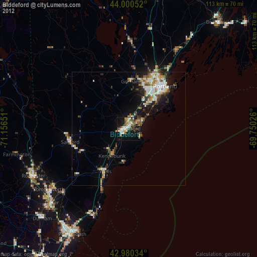
» Earth at Night: Flat Maps 2012, 2016