Sandusky night lights from space
Night Light of Sandusky (Ohio) from space (United States) Src. Average luminocity for 10x10km area is 49.5799% and for 50x50km: 9.9862%.
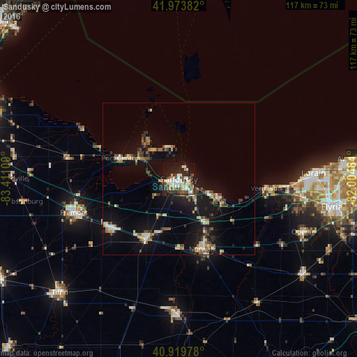
Analysis of Sandusky night lights 2016
Square area 10x10 km:
 11.22%
90-99
11.73%80-89
4.42%70-79
5.44%60-69
2.72%50-59
6.63%40-49
10.37%30-39
6.8%20-29
14.63%10-19
23.64%0-9
2.38%Square area 50x50 km:
0.95%90-99
1.48%80-89
1.01%70-79
0.95%60-69
1.22%50-59
1.4%40-49
1.48%30-39
1.64%20-29
2.58%10-19
9.69%0-9
77.59%Clear (daylight) street map image can be seen on geolist.org.
Map coordinates:
41° 58' 25.8" North, 83° 24' 39.9" West
41° 26' 56.2" North, 82° 42' 28.7" West
40° 55' 11.2" North, 82° 0' 17.4" West
Some cities around Sandusky sort by population:
• Norwalk
24.2 km =15 mi,  161°
161°
• Fremont
36.2 km =22.5 mi,  252°
252°
• Vermilion-on-the-Lake
32.1 km =19.9 mi,  94°
94°
• Vermilion
28.8 km =17.9 mi,  95°
95°
• Bellevue
22.5 km =14 mi,  209°
209°
• Huron
14.1 km =8.8 mi,  115°
115°
• Clyde
27.5 km =17.1 mi,  234°
234°
• Port Clinton
20.4 km =12.7 mi,  290°
290°
5170691 (p: 25,212)
Sources (retrieved 2019-11-25):
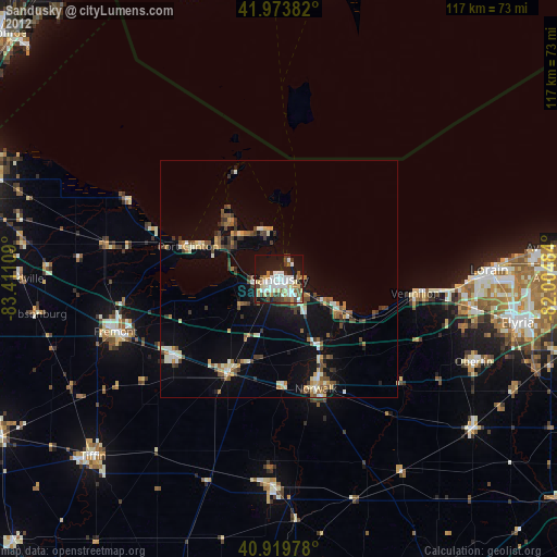
» Earth at Night: Flat Maps 2012, 2016