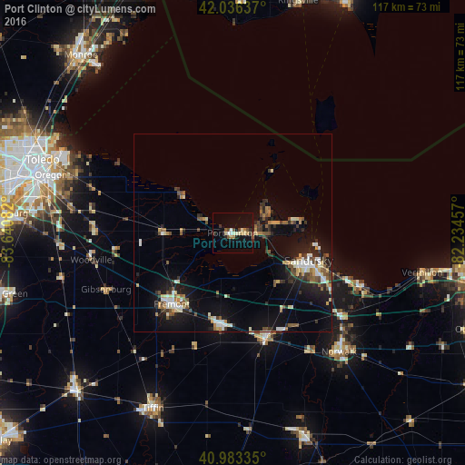
Port Clinton night lights from space
Night Light of Port Clinton (Ohio) from space (United States) Src. Average luminocity for 10x10km area is 15.7857% and for 50x50km: 8.6538%.
Analysis of Port Clinton night lights 2016
Square area 10x10 km:
 1.02%
1.02%90-99
2.89%80-89
2.21%70-79
1.36%60-69
2.04%50-59
1.36%40-49
2.72%30-39
1.36%20-29
2.04%10-19
12.24%0-9
70.75%Square area 50x50 km:
0.91%90-99
1.37%80-89
0.92%70-79
0.82%60-69
0.89%50-59
1.33%40-49
1.31%30-39
1.24%20-29
2.19%10-19
7.15%0-9
81.88%Clear (daylight) street map image can be seen on geolist.org.
Map coordinates:
42° 2' 10.9" North, 83° 38' 27" West
41° 30' 43.2" North, 82° 56' 15.7" West
40° 59' 0.1" North, 82° 14' 4.5" West
Some cities around Port Clinton sort by population:
• Sandusky
20.4 km =12.7 mi,  110°
110°
• Oregon
48 km =29.8 mi,  287°
287°
• Norwalk
40.2 km =25 mi,  138°
138°
• Fremont
23.6 km =14.7 mi,  220°
220°
• Bellevue
27.7 km =17.2 mi,  163°
163°
• Huron
34.4 km =21.4 mi, 112°
• Clyde
23.3 km =14.5 mi,  187°
187°
• Northwood
45.4 km =28.2 mi,  283°
283°
5167259 (p: 5,957)
Sources (retrieved 2019-11-25):
» Earth at Night: Flat Maps 2012, 2016