Sandersville night lights from space
Night Light of Sandersville (Georgia) from space (United States) Src. Average luminocity for 10x10km area is 40.8095% and for 50x50km: 2.7856%.
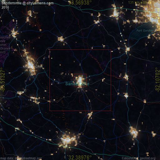
Analysis of Sandersville night lights 2016
Square area 10x10 km:
 6.04%
6.04%90-99
5.68%80-89
5.86%70-79
9.52%60-69
6.04%50-59
3.48%40-49
1.47%30-39
8.06%20-29
9.71%10-19
37.55%0-9
6.59%Square area 50x50 km:
0.24%90-99
0.23%80-89
0.39%70-79
0.6%60-69
0.34%50-59
0.26%40-49
0.33%30-39
0.72%20-29
0.59%10-19
2.45%0-9
93.85%Clear (daylight) street map image can be seen on geolist.org.
Map coordinates:
33° 34' 9.8" North, 83° 30' 47.8" West
32° 58' 53.5" North, 82° 48' 36.5" West
32° 23' 23.1" North, 82° 6' 25.3" West
Some cities around Sandersville sort by population:
• Macon
78.3 km =48.7 mi,  258°
258°
• Milledgeville
40.8 km =25.4 mi,  285°
285°
• Dublin
49.8 km =30.9 mi,  190°
190°
• Grovetown
77.2 km =48 mi,  47°
47°
• Swainsboro
61.7 km =38.3 mi,  133°
133°
• Thomson
61.4 km =38.2 mi,  27°
27°
• Eatonton
66.1 km =41.1 mi,  305°
305°
• Waynesboro
75 km =46.6 mi,  80°
80°
4221206 (p: 5,752)
Sources (retrieved 2019-11-25):
» Earth at Night: Flat Maps 2012, 2016