San Rafael night lights from space
Night Light of San Rafael (California) from space (United States) Src. Average luminocity for 10x10km area is 48.1526% and for 50x50km: 21.5336%.
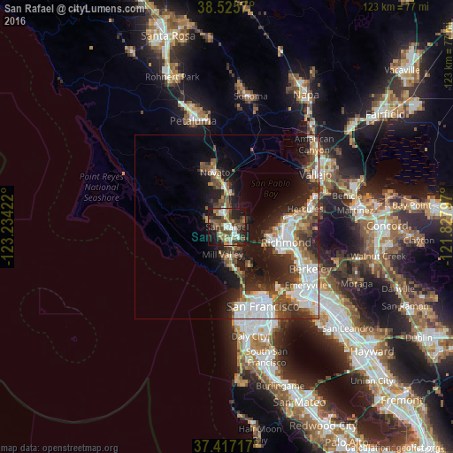
Analysis of San Rafael night lights 2016
Square area 10x10 km:
 8.28%
8.28%90-99
6.33%80-89
2.76%70-79
8.12%60-69
7.47%50-59
8.44%40-49
13.96%30-39
9.58%20-29
16.07%10-19
17.69%0-9
1.3%Square area 50x50 km:
5.19%90-99
4.12%80-89
1.21%70-79
2.45%60-69
2.12%50-59
3.01%40-49
4.04%30-39
3.46%20-29
5.84%10-19
10.8%0-9
57.78%Clear (daylight) street map image can be seen on geolist.org.
Map coordinates:
38° 31' 32.5" North, 123° 14' 3.2" West
37° 58' 24.7" North, 122° 31' 51.9" West
37° 25' 1.8" North, 121° 49' 40.7" West
Some cities around San Rafael sort by population:
• Mill Valley
7.6 km =4.7 mi,  189°
189°
• San Anselmo
2.7 km =1.7 mi,  272°
272°
• Larkspur
4.4 km =2.7 mi,  184°
184°
• Corte Madera
5.4 km =3.4 mi, 176°
• Fairfax
5.3 km =3.3 mi,  286°
286°
• Kentfield
3.3 km =2.1 mi,  223°
223°
• Lucas Valley-Marinwood
8.4 km =5.2 mi,  332°
332°
• Strawberry
8.7 km =5.4 mi,  167°
167°
5392567 (p: 59,162)
Sources (retrieved 2019-11-25):
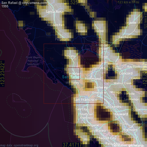
» NASA, Earths city lights 1995
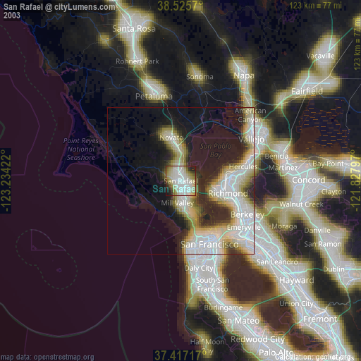
» NASA city lights 2003
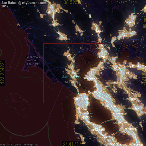
» Earth at Night: Flat Maps 2012, 2016