Mill Valley night lights from space
Night Light of Mill Valley (California) from space (United States) Src. Average luminocity for 10x10km area is 31.2094% and for 50x50km: 22.491%.
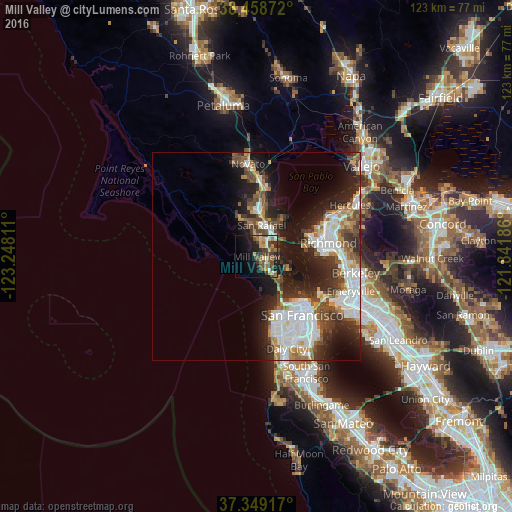
Analysis of Mill Valley night lights 2016
Square area 10x10 km:
 2.92%
2.92%90-99
3.25%80-89
3.25%70-79
4.55%60-69
5.68%50-59
7.47%40-49
7.95%30-39
6.82%20-29
7.79%10-19
18.18%0-9
32.14%Square area 50x50 km:
5.68%90-99
4.51%80-89
1.08%70-79
2.59%60-69
2.38%50-59
2.74%40-49
3.77%30-39
3.66%20-29
6.36%10-19
11.23%0-9
56%Clear (daylight) street map image can be seen on geolist.org.
Map coordinates:
38° 27' 31.4" North, 123° 14' 53.2" West
37° 54' 21.7" North, 122° 32' 41.9" West
37° 20' 57" North, 121° 50' 30.7" West
Some cities around Mill Valley sort by population:
• San Rafael
7.6 km =4.7 mi,  9°
9°
• Larkspur
3.2 km =2 mi,  15°
15°
• Tamalpais-Homestead Valley
3.2 km =2 mi,  166°
166°
• Corte Madera
2.7 km =1.7 mi,  35°
35°
• Sausalito
7.4 km =4.6 mi,  134°
134°
• Tamalpais Valley
2.9 km =1.8 mi,  181°
181°
• Kentfield
5.2 km =3.2 mi,  348°
348°
• Strawberry
3.3 km =2.1 mi,  107°
107°
5373121 (p: 14,394)
Sources (retrieved 2019-11-25):
» Earth at Night: Flat Maps 2012, 2016