Strawberry night lights from space
Night Light of Strawberry (California) from space (United States) Src. Average luminocity for 10x10km area is 34.7256% and for 50x50km: 26.4289%.
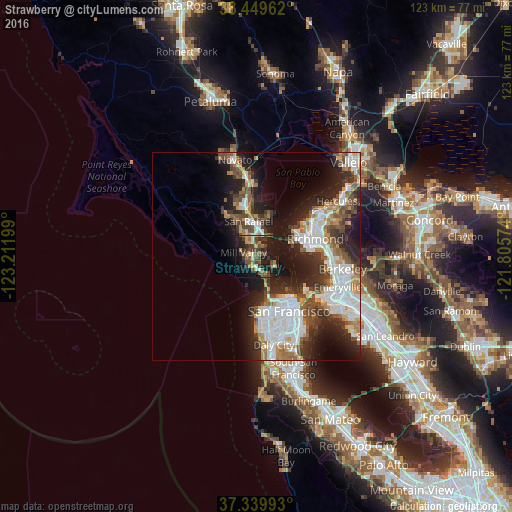
Analysis of Strawberry night lights 2016
Square area 10x10 km:
 1.95%
1.95%90-99
2.6%80-89
2.92%70-79
4.06%60-69
6.17%50-59
8.28%40-49
11.69%30-39
8.44%20-29
11.85%10-19
34.58%0-9
7.47%Square area 50x50 km:
6.71%90-99
5.4%80-89
1.52%70-79
3.03%60-69
2.91%50-59
3.19%40-49
4.29%30-39
4.08%20-29
7.31%10-19
12.19%0-9
49.37%Clear (daylight) street map image can be seen on geolist.org.
Map coordinates:
38° 26' 58.6" North, 123° 12' 43.2" West
37° 53' 48.7" North, 122° 30' 31.9" West
37° 20' 23.7" North, 121° 48' 20.7" West
Some cities around Strawberry sort by population:
• Mill Valley
3.3 km =2.1 mi,  287°
287°
• Larkspur
4.7 km =2.9 mi,  330°
330°
• Tamalpais-Homestead Valley
3.2 km =2 mi,  229°
229°
• Corte Madera
3.6 km =2.2 mi, 332°
• Tiburon
5.3 km =3.3 mi,  119°
119°
• Sausalito
4.7 km =2.9 mi,  153°
153°
• Tamalpais Valley
3.8 km =2.4 mi,  239°
239°
• Kentfield
7.5 km =4.7 mi, 325°
5399319 (p: 5,393)
Sources (retrieved 2019-11-25):
» Earth at Night: Flat Maps 2012, 2016