San Marcos night lights from space
Night Light of San Marcos (California) from space (United States) Src. Average luminocity for 10x10km area is 66.4414% and for 50x50km: 29.3207%.

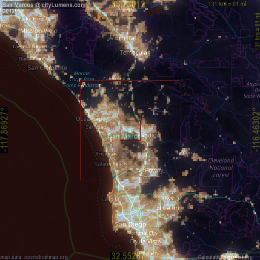
Analysis of San Marcos night lights 2016
Square area 10x10 km:
 12.09%
90-99
9.52%80-89
4.58%70-79
6.04%60-69
26.01%50-59
21.61%40-49
10.44%30-39
7.88%20-29
1.83%10-19
0%0-9
0%Square area 50x50 km:
2.78%90-99
3.16%80-89
1.49%70-79
2.56%60-69
10.76%50-59
9.73%40-49
5.93%30-39
4.17%20-29
6.62%10-19
11.21%0-9
41.58%Clear (daylight) street map image can be seen on geolist.org.
Map coordinates:
33° 43' 48.4" North, 117° 52' 9.4" West
33° 8' 36.1" North, 117° 9' 58.1" West
32° 33' 9.6" North, 116° 27' 46.9" West
Some cities around San Marcos sort by population:
• Oceanside
20.7 km =12.9 mi,  286°
286°
• Escondido
7.9 km =4.9 mi,  109°
109°
• Carlsbad
17.2 km =10.7 mi,  275°
275°
• Vista
9.5 km =5.9 mi,  311°
311°
• Encinitas
16.7 km =10.4 mi,  224°
224°
• Rancho Penasquitos
21 km =13 mi,  166°
166°
• Solana Beach
19.6 km =12.2 mi,  210°
210°
• Valley Center
14.8 km =9.2 mi,  55°
55°
5392368 (p: 92,931)
Sources (retrieved 2019-11-25):
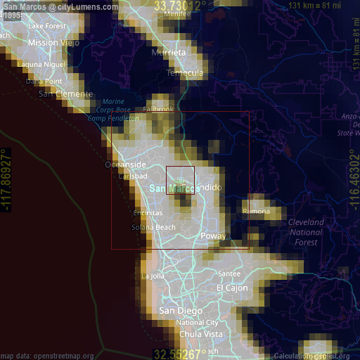
» NASA, Earths city lights 1995
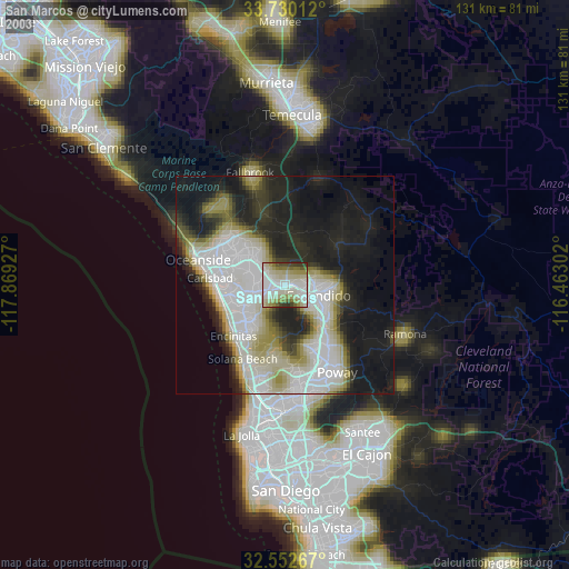
» NASA city lights 2003
» Earth at Night: Flat Maps 2012, 2016