San Luis Obispo night lights from space
Night Light of San Luis Obispo (California) from space (United States) Src. Average luminocity for 10x10km area is 37.0385% and for 50x50km: 5.2009%.
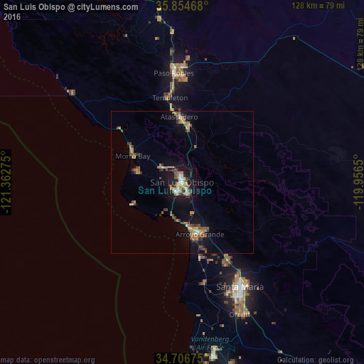
Analysis of San Luis Obispo night lights 2016
Square area 10x10 km:
 4.9%
4.9%90-99
6.47%80-89
2.97%70-79
6.47%60-69
5.77%50-59
5.24%40-49
6.29%30-39
3.5%20-29
8.22%10-19
35.84%0-9
14.34%Square area 50x50 km:
0.33%90-99
0.47%80-89
0.29%70-79
0.87%60-69
1.13%50-59
0.75%40-49
1.07%30-39
0.95%20-29
0.55%10-19
4.36%0-9
89.23%Clear (daylight) street map image can be seen on geolist.org.
Map coordinates:
35° 51' 16.8" North, 121° 21' 45.9" West
35° 16' 57.9" North, 120° 39' 34.6" West
34° 42' 24.3" North, 119° 57' 23.4" West
Some cities around San Luis Obispo sort by population:
• Atascadero
23 km =14.3 mi,  357°
357°
• Arroyo Grande
19.3 km =12 mi,  161°
161°
• Los Osos
16 km =9.9 mi,  281°
281°
• Grover Beach
18.2 km =11.3 mi,  168°
168°
• Morro Bay
19.6 km =12.2 mi,  298°
298°
• Pismo Beach
15.7 km =9.8 mi, 173°
• Templeton
30 km =18.6 mi,  351°
351°
• Oceano
20.9 km =13 mi, 168°
5392323 (p: 47,339)
Sources (retrieved 2019-11-25):
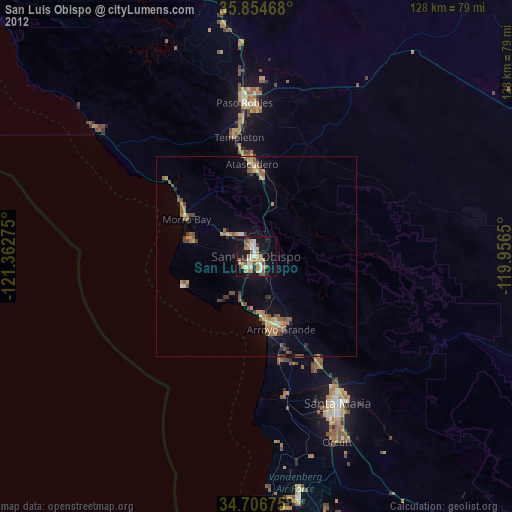
» Earth at Night: Flat Maps 2012, 2016