Pismo Beach night lights from space
Night Light of Pismo Beach (California) from space (United States) Src. Average luminocity for 10x10km area is 25.299% and for 50x50km: 7.0779%.
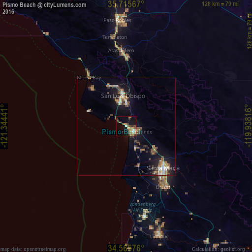
Analysis of Pismo Beach night lights 2016
Square area 10x10 km:
 1.22%
1.22%90-99
2.27%80-89
2.45%70-79
5.94%60-69
7.17%50-59
2.45%40-49
6.99%30-39
4.02%20-29
0.35%10-19
19.93%0-9
47.2%Square area 50x50 km:
0.66%90-99
0.92%80-89
0.35%70-79
1.12%60-69
1.19%50-59
0.96%40-49
1.54%30-39
1.09%20-29
1.26%10-19
6.1%0-9
84.82%Clear (daylight) street map image can be seen on geolist.org.
Map coordinates:
35° 42' 56.4" North, 121° 20' 39.9" West
35° 8' 33.9" North, 120° 38' 28.6" West
34° 33' 56.7" North, 119° 56' 17.4" West
Some cities around Pismo Beach sort by population:
• Santa Maria
28.2 km =17.5 mi,  138°
138°
• San Luis Obispo
15.7 km =9.8 mi,  353°
353°
• Arroyo Grande
5.3 km =3.3 mi,  120°
120°
• Nipomo
18.7 km =11.6 mi,  126°
126°
• Los Osos
25.5 km =15.8 mi,  317°
317°
• Grover Beach
3 km =1.9 mi, 142°
• Guadalupe
20 km =12.4 mi,  161°
161°
• Oceano
5.5 km =3.4 mi,  151°
151°
5383431 (p: 8,162)
Sources (retrieved 2019-11-25):
» Earth at Night: Flat Maps 2012, 2016