Atascadero night lights from space
Night Light of Atascadero (California) from space (United States) Src. Average luminocity for 10x10km area is 19.9835% and for 50x50km: 4.6902%.
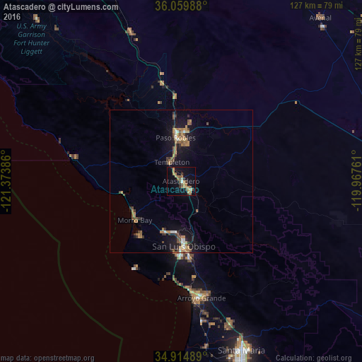
Analysis of Atascadero night lights 2016
Square area 10x10 km:
 0%
0%90-99
2.01%80-89
1.65%70-79
4.58%60-69
6.41%50-59
3.85%40-49
2.2%30-39
4.03%20-29
0.18%10-19
8.97%0-9
66.12%Square area 50x50 km:
0.23%90-99
0.35%80-89
0.26%70-79
1.09%60-69
1.01%50-59
0.91%40-49
0.68%30-39
0.73%20-29
0.52%10-19
3.82%0-9
90.39%Clear (daylight) street map image can be seen on geolist.org.
Map coordinates:
36° 3' 35.6" North, 121° 22' 25.9" West
35° 29' 21.9" North, 120° 40' 14.6" West
34° 54' 53.6" North, 119° 58' 3.4" West
Some cities around Atascadero sort by population:
• San Luis Obispo
23 km =14.3 mi,  177°
177°
• Paso Robles
15.4 km =9.6 mi,  353°
353°
• Los Osos
24.7 km =15.3 mi,  216°
216°
• Grover Beach
41.1 km =25.5 mi,  173°
173°
• Morro Bay
21.3 km =13.2 mi,  229°
229°
• Pismo Beach
38.6 km =24 mi, 176°
• Templeton
7.4 km =4.6 mi,  334°
334°
• Cambria
38 km =23.6 mi,  282°
282°
5325111 (p: 29,819)
Sources (retrieved 2019-11-25):
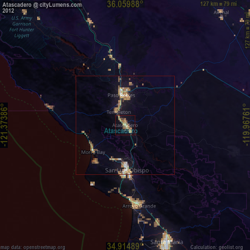
» Earth at Night: Flat Maps 2012, 2016