Mesquite night lights from space
Night Light of Mesquite (Nevada) from space (United States) Src. Average luminocity for 10x10km area is 33.9091% and for 50x50km: 1.8747%.
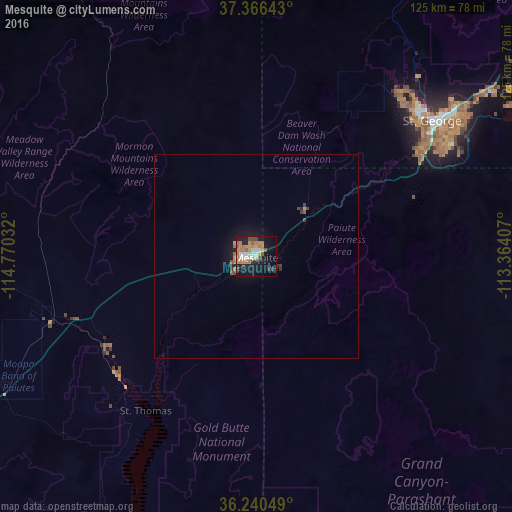
Analysis of Mesquite night lights 2016
Square area 10x10 km:
 3.32%
3.32%90-99
6.47%80-89
1.75%70-79
7.87%60-69
8.57%50-59
4.72%40-49
3.5%30-39
2.1%20-29
4.2%10-19
31.47%0-9
26.05%Square area 50x50 km:
0.13%90-99
0.26%80-89
0.07%70-79
0.36%60-69
0.44%50-59
0.29%40-49
0.22%30-39
0.27%20-29
0.29%10-19
1.82%0-9
95.85%Clear (daylight) street map image can be seen on geolist.org.
Map coordinates:
37° 21' 59.1" North, 114° 46' 13.2" West
36° 48' 19.9" North, 114° 4' 1.9" West
36° 14' 25.8" North, 113° 21' 50.7" West
Some cities around Mesquite sort by population:
• Sunrise Manor
111.6 km =69.3 mi,  233°
233°
• Saint George
54.3 km =33.7 mi,  52°
52°
• Washington
61.4 km =38.2 mi, 53°
• Boulder City
114.7 km =71.3 mi,  216°
216°
• Hurricane
80.3 km =49.9 mi,  59°
59°
• Ivins
53.1 km =33 mi,  40°
40°
• Moapa Valley
43.8 km =27.2 mi,  235°
235°
• Santa Clara
51.7 km =32.1 mi, 45°
5508180 (p: 17,496)
Sources (retrieved 2019-11-25):
» Earth at Night: Flat Maps 2012, 2016