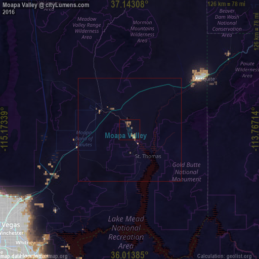
Moapa Valley night lights from space
Night Light of Moapa Valley (Nevada) from space (United States) Src. Average luminocity for 10x10km area is 7.3773% and for 50x50km: 0.4595%.
Analysis of Moapa Valley night lights 2016
Square area 10x10 km:
 0%
0%90-99
0%80-89
0%70-79
1.28%60-69
2.38%50-59
3.66%40-49
1.83%30-39
2.01%20-29
0.92%10-19
0.73%0-9
87.18%Square area 50x50 km:
0%90-99
0%80-89
0%70-79
0.08%60-69
0.13%50-59
0.17%40-49
0.2%30-39
0.11%20-29
0.07%10-19
0.05%0-9
99.19%Clear (daylight) street map image can be seen on geolist.org.
Map coordinates:
37° 8' 35.1" North, 115° 10' 24.2" West
36° 34' 49.9" North, 114° 28' 12.9" West
36° 0' 49.9" North, 113° 46' 1.7" West
Some cities around Moapa Valley sort by population:
• Las Vegas
74.8 km =46.5 mi,  232°
232°
• Henderson
75.6 km =47 mi,  217°
217°
• North Las Vegas
71.8 km =44.6 mi, 233°
• Sunrise Manor
67.8 km =42.1 mi, 232°
• Whitney
73.8 km =45.9 mi, 223°
• Winchester
76.7 km =47.7 mi, 229°
• Mesquite
43.8 km =27.2 mi,  55°
55°
• Boulder City
74.4 km =46.2 mi,  205°
205°
5508473 (p: 6,924)
Sources (retrieved 2019-11-25):
» Earth at Night: Flat Maps 2012, 2016