Saint Andrews night lights from space
Night Light of Saint Andrews (South Carolina) from space (United States) Src. Average luminocity for 10x10km area is 89.0647% and for 50x50km: 47.3472%.
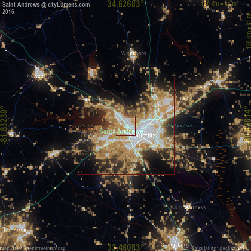
Analysis of Saint Andrews night lights 2016
Square area 10x10 km:
 29.37%
90-99
26.92%80-89
18.71%70-79
18.01%60-69
4.55%50-59
2.45%40-49
0%30-39
0%20-29
0%10-19
0%0-9
0%Square area 50x50 km:
8.31%90-99
7.59%80-89
7.99%70-79
9.27%60-69
9.84%50-59
4.88%40-49
4.79%30-39
6.99%20-29
8.44%10-19
12.49%0-9
19.42%Clear (daylight) street map image can be seen on geolist.org.
Map coordinates:
34° 37' 33.7" North, 81° 49' 56.6" West
34° 2' 43.5" North, 81° 7' 45.3" West
33° 27' 39" North, 80° 25' 34.1" West
Some cities around Saint Andrews sort by population:
• Columbia
10 km =6.2 mi,  119°
119°
• Lexington
12.2 km =7.6 mi,  234°
234°
• West Columbia
7.7 km =4.8 mi,  138°
138°
• Seven Oaks
1.6 km =1 mi,  283°
283°
• Cayce
10.2 km =6.3 mi,  150°
150°
• Irmo
6.7 km =4.2 mi,  312°
312°
• Forest Acres
13.2 km =8.2 mi,  102°
102°
• Oak Grove
7.3 km =4.5 mi,  189°
189°
4593724 (p: 21,151)
Sources (retrieved 2019-11-25):
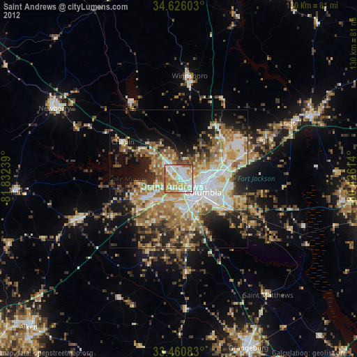
» Earth at Night: Flat Maps 2012, 2016