Columbia night lights from space
Night Light of Columbia (South Carolina) from space (United States) Src. Average luminocity for 10x10km area is 98.285% and for 50x50km: 50.1997%.
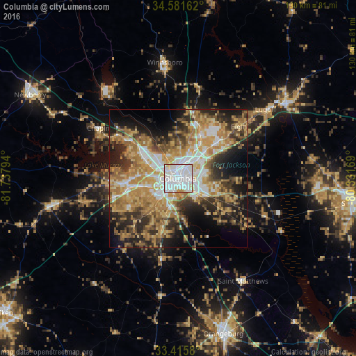
Analysis of Columbia night lights 2016
Square area 10x10 km:
 62.94%
90-99
31.64%80-89
3.32%70-79
1.92%60-69
0.17%50-59
0%40-49
0%30-39
0%20-29
0%10-19
0%0-9
0%Square area 50x50 km:
8.26%90-99
7.63%80-89
8.77%70-79
9.9%60-69
11.15%50-59
5.78%40-49
5.44%30-39
7.4%20-29
9.5%10-19
11.33%0-9
14.83%Clear (daylight) street map image can be seen on geolist.org.
Map coordinates:
34° 34' 53.8" North, 81° 44' 16.6" West
34° 0' 2.6" North, 81° 2' 5.3" West
33° 24' 56.9" North, 80° 19' 54.1" West
Some cities around Columbia sort by population:
• Saint Andrews
10 km =6.2 mi,  299°
299°
• West Columbia
3.7 km =2.3 mi,  257°
257°
• Seven Oaks
11.6 km =7.2 mi, 297°
• Dentsville
10 km =6.2 mi,  45°
45°
• Cayce
5.3 km =3.3 mi,  222°
222°
• Forest Acres
4.6 km =2.9 mi,  63°
63°
• Oak Grove
10.2 km =6.3 mi, 257°
• Woodfield
11.6 km =7.2 mi, 55°
4575352 (p: 133,803)
Sources (retrieved 2019-11-25):
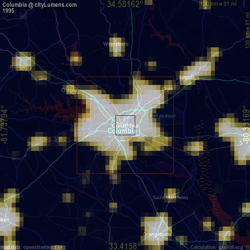
» NASA, Earths city lights 1995
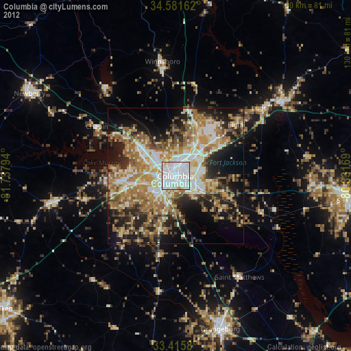
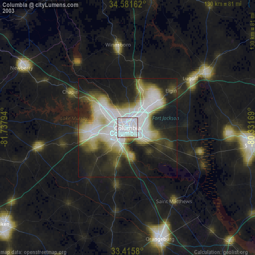
» NASA city lights 2003
» Earth at Night: Flat Maps 2012, 2016