Lexington night lights from space
Night Light of Lexington (South Carolina) from space (United States) Src. Average luminocity for 10x10km area is 78.0787% and for 50x50km: 40.1026%.
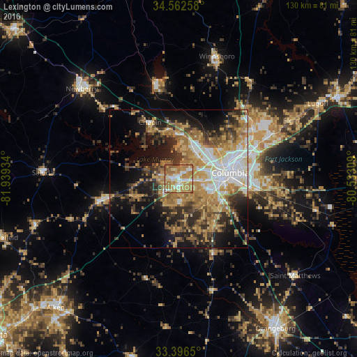
Analysis of Lexington night lights 2016
Square area 10x10 km:
 12.06%
90-99
13.81%80-89
14.34%70-79
27.8%60-69
25.7%50-59
5.24%40-49
0.7%30-39
0.35%20-29
0%10-19
0%0-9
0%Square area 50x50 km:
6.32%90-99
5.28%80-89
6.46%70-79
7.67%60-69
9.07%50-59
4.62%40-49
4.55%30-39
7.25%20-29
7.82%10-19
13.59%0-9
27.36%Clear (daylight) street map image can be seen on geolist.org.
Map coordinates:
34° 33' 45.3" North, 81° 56' 21.6" West
33° 58' 53.5" North, 81° 14' 10.4" West
33° 23' 47.4" North, 80° 31' 59.1" West
Some cities around Lexington sort by population:
• Saint Andrews
12.2 km =7.6 mi,  54°
54°
• West Columbia
15 km =9.3 mi,  84°
84°
• Seven Oaks
11.1 km =6.9 mi, 47°
• Cayce
15.1 km =9.4 mi,  96°
96°
• Irmo
12.6 km =7.8 mi,  22°
22°
• Oak Grove
8.6 km =5.3 mi,  90°
90°
• Red Bank
5.5 km =3.4 mi,  182°
182°
• Lake Murray of Richland
15.7 km =9.8 mi,  350°
350°
4585000 (p: 20,138)
Sources (retrieved 2019-11-25):
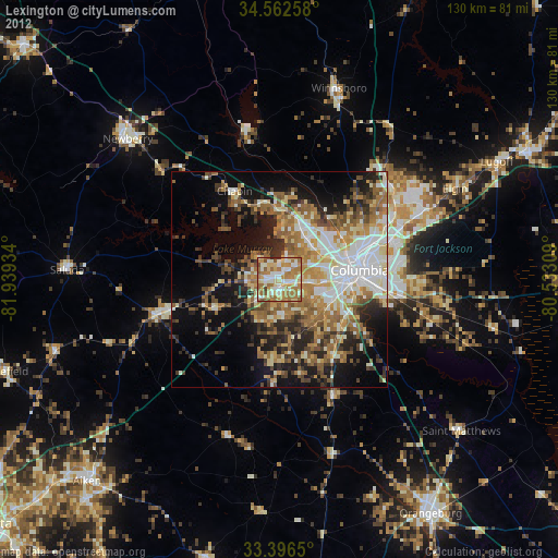
» Earth at Night: Flat Maps 2012, 2016