Sachse night lights from space
Night Light of Sachse (Texas) from space (United States) Src. Average luminocity for 10x10km area is 84.3919% and for 50x50km: 68.7583%.
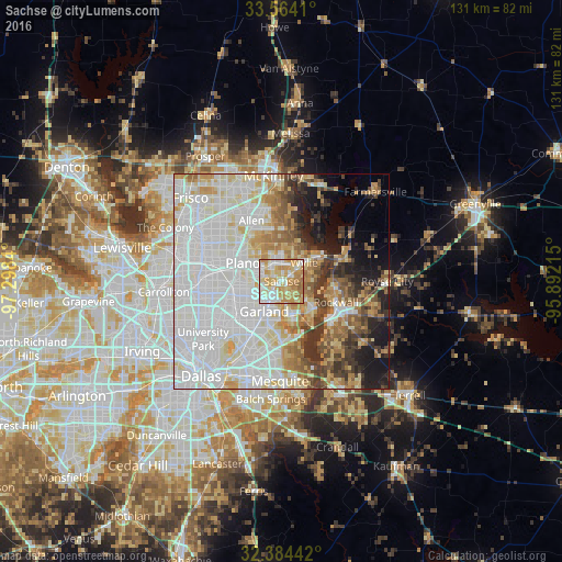
Analysis of Sachse night lights 2016
Square area 10x10 km:
 16.67%
90-99
24.36%80-89
18.86%70-79
25.64%60-69
12.82%50-59
1.65%40-49
0%30-39
0%20-29
0%10-19
0%0-9
0%Square area 50x50 km:
25.5%90-99
19.23%80-89
7.96%70-79
6.69%60-69
6.46%50-59
5.09%40-49
3.88%30-39
5.57%20-29
4.04%10-19
6.91%0-9
8.67%Clear (daylight) street map image can be seen on geolist.org.
Map coordinates:
33° 33' 50.8" North, 97° 17' 54.2" West
32° 58' 34.4" North, 96° 35' 43" West
32° 23' 3.9" North, 95° 53' 31.7" West
Some cities around Sachse sort by population:
• Plano
10.8 km =6.7 mi,  296°
296°
• Garland
8.2 km =5.1 mi,  209°
209°
• Richardson
12.9 km =8 mi,  256°
256°
• Rowlett
8.7 km =5.4 mi,  160°
160°
• Wylie
6.8 km =4.2 mi,  50°
50°
• Rockwall
13.6 km =8.5 mi,  111°
111°
• Murphy
4.6 km =2.9 mi,  339°
339°
• Lucas
12.1 km =7.5 mi,  8°
8°
4724564 (p: 24,554)
Sources (retrieved 2019-11-25):
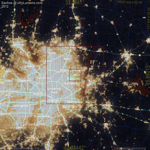
» Earth at Night: Flat Maps 2012, 2016