Wylie night lights from space
Night Light of Wylie (Texas) from space (United States) Src. Average luminocity for 10x10km area is 65.9286% and for 50x50km: 56.6928%.
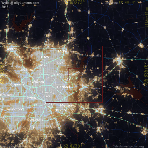
Analysis of Wylie night lights 2016
Square area 10x10 km:
100  6.04%
6.04%
90-99 8.79%
80-89 14.1%
70-79 21.06%
60-69 15.2%
50-59 13.74%
40-49 4.95%
30-39 7.69%
20-29 6.78%
10-19 1.65%
0-9 0%
6.04%90-99
8.79%80-89
14.1%70-79
21.06%60-69
15.2%50-59
13.74%40-49
4.95%30-39
7.69%20-29
6.78%10-19
1.65%0-9
0%Square area 50x50 km:
100 17.6%
90-99 14.65%
80-89 7.16%
70-79 6.4%
60-69 6.93%
50-59 5.42%
40-49 3.9%
30-39 5.92%
20-29 4.45%
10-19 8.76%
0-9 18.82%
17.6%90-99
14.65%80-89
7.16%70-79
6.4%60-69
6.93%50-59
5.42%40-49
3.9%30-39
5.92%20-29
4.45%10-19
8.76%0-9
18.82%Clear (daylight) street map image can be seen on geolist.org.
Map coordinates:
33° 36' 9.8" North, 97° 14' 31.2" West
33° 0' 54.4" North, 96° 32' 20" West
32° 25' 24.9" North, 95° 50' 8.7" West
Some cities around Wylie sort by population:
• Plano
14.9 km =9.3 mi,  272°
272°
• Garland
14.7 km =9.1 mi,  219°
219°
• Allen
15.7 km =9.8 mi,  308°
308°
• Rowlett
12.7 km =7.9 mi,  190°
190°
• Rockwall
11.9 km =7.4 mi,  141°
141°
• Sachse
6.8 km =4.2 mi,  230°
230°
• Murphy
6.9 km =4.3 mi, 270°
• Lucas
8.5 km =5.3 mi,  335°
335°
4743275 (p: 46,708)
Sources (retrieved 2019-11-25):
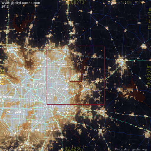
» Earth at Night: Flat Maps 2012, 2016