Saint Clair Shores night lights from space
Night Light of Saint Clair Shores (Michigan) from space (United States) Src. Average luminocity for 10x10km area is 66.1333% and for 50x50km: 52.7418%.
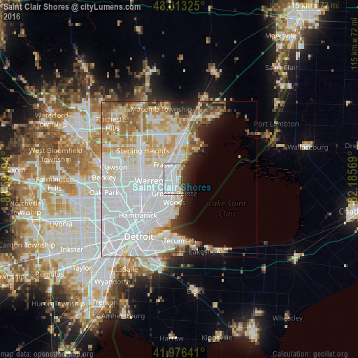
Analysis of Saint Clair Shores night lights 2016
Square area 10x10 km:
 36.51%
90-99
16.03%80-89
1.27%70-79
3.17%60-69
2.06%50-59
1.27%40-49
3.49%30-39
5.56%20-29
11.9%10-19
13.02%0-9
5.71%Square area 50x50 km:
24.74%90-99
11.84%80-89
5.12%70-79
5.45%60-69
4.77%50-59
3.19%40-49
2%30-39
1.91%20-29
3.4%10-19
4.06%0-9
33.52%Clear (daylight) street map image can be seen on geolist.org.
Map coordinates:
43° 0' 47.7" North, 83° 35' 31" West
42° 29' 49.1" North, 82° 53' 19.7" West
41° 58' 35.1" North, 82° 11' 8.5" West
Some cities around Saint Clair Shores sort by population:
• Warren
10.2 km =6.3 mi,  265°
265°
• Clinton Township
10.3 km =6.4 mi,  345°
345°
• Roseville
4 km =2.5 mi, 270°
• Eastpointe
6.3 km =3.9 mi,  239°
239°
• Grosse Pointe Woods
6.1 km =3.8 mi,  194°
194°
• Fraser
6.8 km =4.2 mi,  313°
313°
• Harper Woods
7.7 km =4.8 mi,  202°
202°
• Grosse Pointe Farms
9.8 km =6.1 mi,  181°
181°
5010978 (p: 59,715)
Sources (retrieved 2019-11-25):
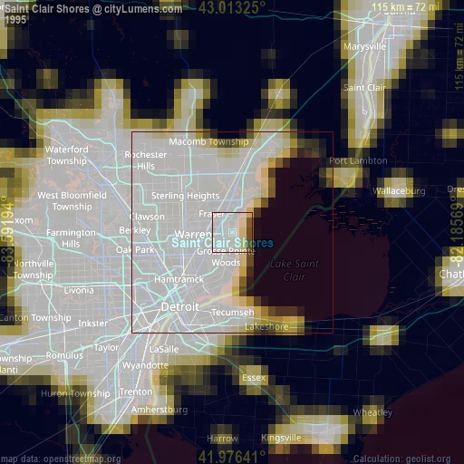
» NASA, Earths city lights 1995
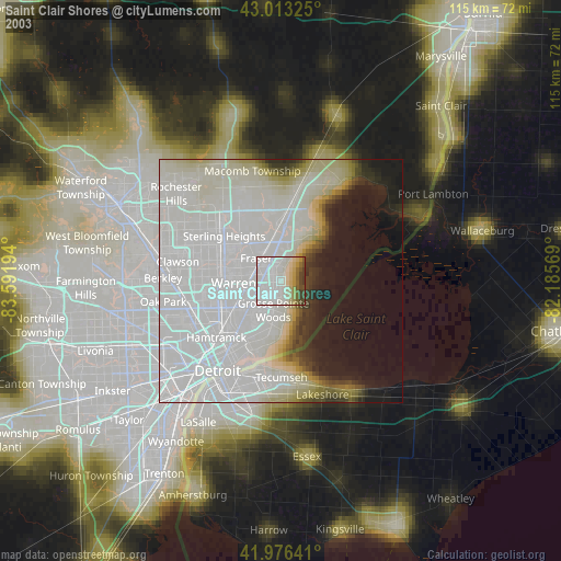
» NASA city lights 2003
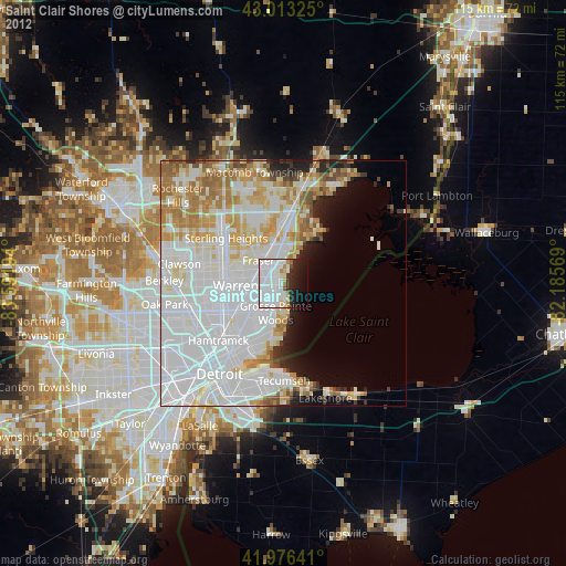
» Earth at Night: Flat Maps 2012, 2016