Rockland night lights from space
Night Light of Rockland (Maine) from space (United States) Src. Average luminocity for 10x10km area is 14.6788% and for 50x50km: 1.0709%.
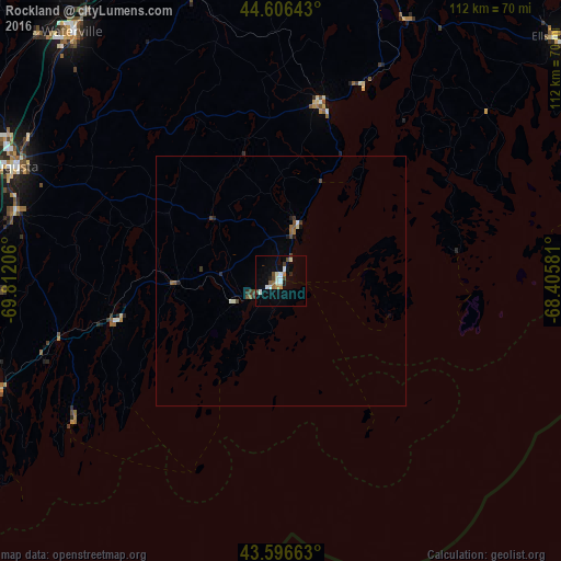
Analysis of Rockland night lights 2016
Square area 10x10 km:
 1.21%
1.21%90-99
5.15%80-89
0.3%70-79
1.52%60-69
0.76%50-59
1.36%40-49
2.27%30-39
1.82%20-29
0.91%10-19
4.85%0-9
79.85%Square area 50x50 km:
0.06%90-99
0.27%80-89
0.04%70-79
0.06%60-69
0.1%50-59
0.17%40-49
0.24%30-39
0.2%20-29
0.17%10-19
0.28%0-9
98.4%Clear (daylight) street map image can be seen on geolist.org.
Map coordinates:
44° 36' 23.1" North, 69° 48' 43.4" West
44° 6' 13.3" North, 69° 6' 32.1" West
43° 35' 47.9" North, 68° 24' 20.9" West
Some cities around Rockland sort by population:
• Augusta
58.2 km =36.2 mi,  293°
293°
• Waterville
64.9 km =40.3 mi,  320°
320°
• Brunswick
71.6 km =44.5 mi,  252°
252°
• North Bath
59.6 km =37 mi, 251°
• Bath
60.8 km =37.8 mi, 249°
• Winslow
64 km =39.8 mi, 320°
• Belfast
36.7 km =22.8 mi,  12°
12°
• Gardiner
55 km =34.2 mi,  284°
284°
4832458 (p: 7,237)
Sources (retrieved 2019-11-25):
» Earth at Night: Flat Maps 2012, 2016