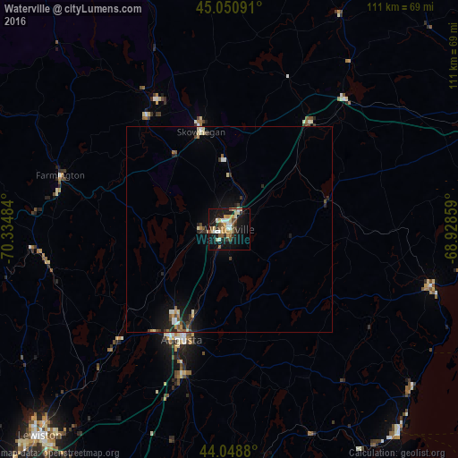
Waterville night lights from space
Night Light of Waterville (Maine) from space (United States) Src. Average luminocity for 10x10km area is 31.6794% and for 50x50km: 3.0535%.
Analysis of Waterville night lights 2016
Square area 10x10 km:
 3.97%
3.97%90-99
5.24%80-89
3.97%70-79
5.87%60-69
2.86%50-59
5.56%40-49
3.81%30-39
2.54%20-29
3.97%10-19
35.87%0-9
26.35%Square area 50x50 km:
0.28%90-99
0.45%80-89
0.34%70-79
0.42%60-69
0.27%50-59
0.45%40-49
0.4%30-39
0.43%20-29
0.79%10-19
2.67%0-9
93.51%Clear (daylight) street map image can be seen on geolist.org.
Map coordinates:
45° 3' 3.3" North, 70° 20' 5.4" West
44° 33' 7.2" North, 69° 37' 54.2" West
44° 2' 55.7" North, 68° 55' 42.9" West
Some cities around Waterville sort by population:
• Lewiston
68.4 km =42.5 mi,  222°
222°
• Augusta
29.3 km =18.2 mi,  203°
203°
• Winslow
1 km =0.6 mi,  123°
123°
• Rockland
64.9 km =40.3 mi,  140°
140°
• Belfast
51.5 km =32 mi,  105°
105°
• Skowhegan
24.7 km =15.3 mi,  343°
343°
• Gardiner
37.6 km =23.4 mi, 197°
• Turner
59.5 km =37 mi,  236°
236°
4982236 (p: 16,261)
Sources (retrieved 2019-11-25):
» Earth at Night: Flat Maps 2012, 2016