North Bath night lights from space
Night Light of North Bath (Maine) from space (United States) Src. Average luminocity for 10x10km area is 9.3937% and for 50x50km: 2.9057%.
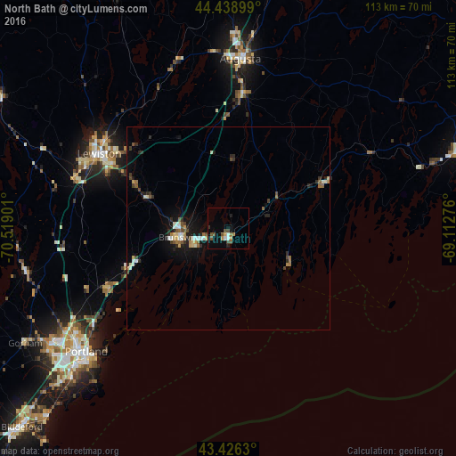
Analysis of North Bath night lights 2016
Square area 10x10 km:
 0.48%
0.48%90-99
1.43%80-89
0.32%70-79
1.43%60-69
0.79%50-59
1.75%40-49
3.97%30-39
0.63%20-29
0.95%10-19
1.11%0-9
87.14%Square area 50x50 km:
0.27%90-99
0.42%80-89
0.35%70-79
0.19%60-69
0.39%50-59
0.38%40-49
0.57%30-39
0.32%20-29
0.65%10-19
1.91%0-9
94.53%Clear (daylight) street map image can be seen on geolist.org.
Map coordinates:
44° 26' 20.4" North, 70° 31' 8.4" West
43° 56' 5.3" North, 69° 48' 57.2" West
43° 25' 34.7" North, 69° 6' 45.9" West
Some cities around North Bath sort by population:
• Lewiston
36.8 km =22.9 mi,  299°
299°
• Brunswick
12.2 km =7.6 mi,  259°
259°
• Lisbon
25.5 km =15.8 mi,  294°
294°
• Bath
2.7 km =1.7 mi,  188°
188°
• Topsham
12.8 km =8 mi,  266°
266°
• Yarmouth
33.3 km =20.7 mi,  243°
243°
• Gardiner
33 km =20.5 mi,  5°
5°
• Harpswell Center
20 km =12.4 mi,  222°
222°
4973457 (p: 9,363)
Sources (retrieved 2019-11-25):
» Earth at Night: Flat Maps 2012, 2016