Brunswick night lights from space
Night Light of Brunswick (Maine) from space (United States) Src. Average luminocity for 10x10km area is 30.8873% and for 50x50km: 6.299%.
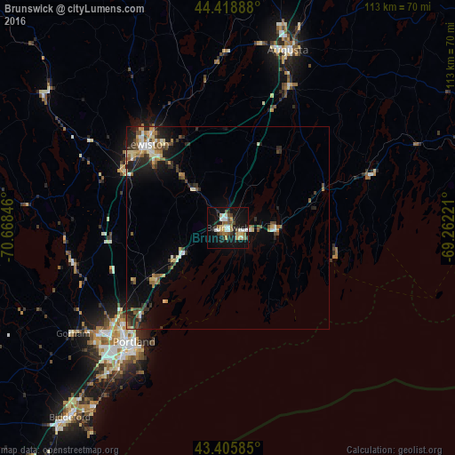
Analysis of Brunswick night lights 2016
Square area 10x10 km:
 5.08%
5.08%90-99
4.44%80-89
4.92%70-79
2.38%60-69
4.44%50-59
4.13%40-49
3.97%30-39
2.86%20-29
4.76%10-19
37.62%0-9
25.4%Square area 50x50 km:
0.55%90-99
0.91%80-89
0.91%70-79
0.71%60-69
0.78%50-59
0.93%40-49
1%30-39
0.77%20-29
1.82%10-19
4.19%0-9
87.43%Clear (daylight) street map image can be seen on geolist.org.
Map coordinates:
44° 25' 8" North, 70° 40' 6.5" West
43° 54' 52.3" North, 69° 57' 55.2" West
43° 24' 21.1" North, 69° 15' 44" West
Some cities around Brunswick sort by population:
• Lewiston
28.7 km =17.8 mi,  316°
316°
• Lisbon
17.1 km =10.6 mi, 319°
• North Bath
12.2 km =7.6 mi,  79°
79°
• Bath
11.6 km =7.2 mi,  92°
92°
• Topsham
1.7 km =1.1 mi,  329°
329°
• Yarmouth
21.8 km =13.5 mi,  234°
234°
• New Gloucester
26 km =16.2 mi,  281°
281°
• Harpswell Center
12.6 km =7.8 mi,  186°
186°
4959473 (p: 15,175)
Sources (retrieved 2019-11-25):
» Earth at Night: Flat Maps 2012, 2016