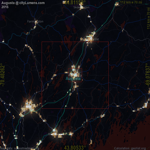
Augusta night lights from space
Night Light of Augusta (Maine) from space (United States) Src. Average luminocity for 10x10km area is 34.047% and for 50x50km: 2.9466%.
Analysis of Augusta night lights 2016
Square area 10x10 km:
 5.45%
5.45%90-99
5.3%80-89
4.09%70-79
3.48%60-69
3.33%50-59
4.09%40-49
4.09%30-39
5.91%20-29
13.64%10-19
34.85%0-9
15.76%Square area 50x50 km:
0.25%90-99
0.37%80-89
0.4%70-79
0.28%60-69
0.32%50-59
0.37%40-49
0.49%30-39
0.38%20-29
0.98%10-19
2.83%0-9
93.34%Clear (daylight) street map image can be seen on geolist.org.
Map coordinates:
44° 48' 41.7" North, 70° 28' 57.4" West
44° 18' 38.2" North, 69° 46' 46.2" West
43° 48' 19.2" North, 69° 4' 34.9" West
Some cities around Augusta sort by population:
• Lewiston
41.8 km =26 mi,  236°
236°
• Auburn
43.1 km =26.8 mi, 236°
• Waterville
29.3 km =18.2 mi,  23°
23°
• Lisbon
40.4 km =25.1 mi,  219°
219°
• North Bath
41.9 km =26 mi,  183°
183°
• Winslow
29.1 km =18.1 mi,  25°
25°
• Gardiner
9 km =5.6 mi, 177°
• Turner
38.4 km =23.9 mi,  260°
260°
4957003 (p: 18,471)
Sources (retrieved 2019-11-25):
» Earth at Night: Flat Maps 2012, 2016