Belfast night lights from space
Night Light of Belfast (Maine) from space (United States) Src. Average luminocity for 10x10km area is 9.7413% and for 50x50km: 0.7986%.
Analysis of Belfast night lights 2016
Square area 10x10 km:
 0.32%
0.32%90-99
0.95%80-89
2.38%70-79
1.75%60-69
1.59%50-59
2.38%40-49
0.79%30-39
0.16%20-29
0.63%10-19
1.27%0-9
87.78%Square area 50x50 km:
0.02%90-99
0.07%80-89
0.14%70-79
0.12%60-69
0.13%50-59
0.17%40-49
0.12%30-39
0.16%20-29
0.18%10-19
0.15%0-9
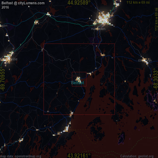
98.74%Clear (daylight) street map image can be seen on geolist.org.
Map coordinates:
44° 55' 33.2" North, 69° 42' 34.4" West
44° 25' 33.3" North, 69° 0' 23.1" West
43° 55' 17.8" North, 68° 18' 11.9" West
Some cities around Belfast sort by population:
• Bangor
45.5 km =28.3 mi,  23°
23°
• Augusta
62.8 km =39 mi,  258°
258°
• Waterville
51.5 km =32 mi,  285°
285°
• Orono
57.3 km =35.6 mi,  27°
27°
• Brewer
45.6 km =28.3 mi, 25°
• Ellsworth
48.4 km =30.1 mi,  74°
74°
• Winslow
50.6 km =31.4 mi, 285°
• Rockland
36.7 km =22.8 mi,  192°
192°
4957956 (p: 6,682)
Sources (retrieved 2019-11-25):
» Earth at Night: Flat Maps 2012, 2016